Transport Functions
Port
Multimodal
Hub Profile
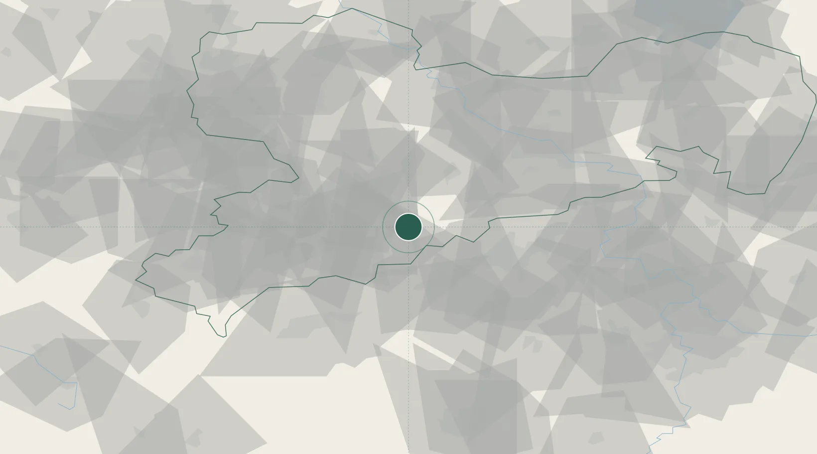
Place type
Populated place
Region
Saxony
Time zone
Europe/Berlin
Elevation
624 m
Location
Nearby Logistics Neighbours
Cities
- 1Wolkenstein6 km
- 2Zöblitz6 km
- 3Mildenau9 km
- 4Griessbach9 km
- 5Thermalbad Wiesenbad9 km
Ports
- 1Szczecin320 km
- 2Police337 km
- 3Swinoujscie369 km
- 4Wismar377 km
- 5Wolgast379 km
Airports
- 1Karlovy Vary Airport54 km
- 2Leipzig–Altenburg Airport57 km
- 3Dresden Airport68 km
- 4Václav Havel Airport Prague101 km
- 5Hof-Plauen Airport101 km
Trade Zones
DatabookThe Record of Consolidated Knowledge
Germany beyond logistics?