Transport Functions
Multimodal
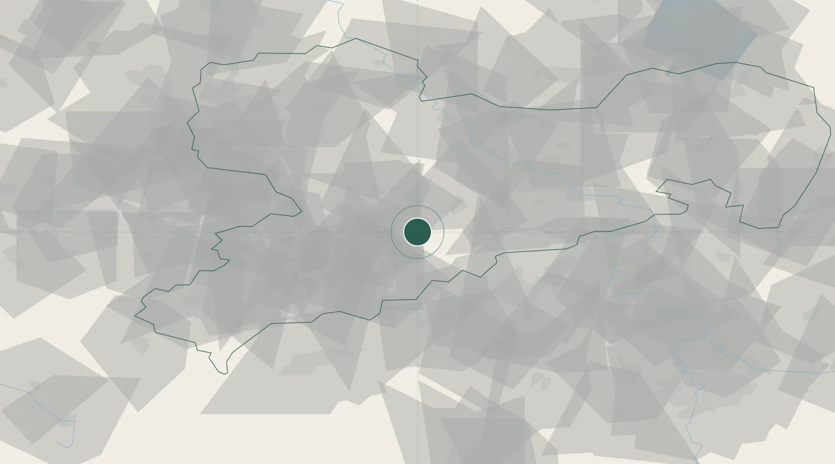
Hub Profile
Place type
Local administrative seat
Region
Saxony
Population
3,981
Time zone
Europe/Berlin
Elevation
407 m
Location
Nearby Logistics Neighbours
Cities
- 1Borstendorf2 km
- 2Hohenfichte3 km
- 3Eppendorf5 km
- 4Niederwiesa7 km
- 5Föha9 km
Ports
- 1Szczecin306 km
- 2Police322 km
- 3Swinoujscie355 km
- 4Wismar364 km
- 5Wolgast364 km
Airports
- 1Leipzig–Altenburg Airport51 km
- 2Dresden Airport56 km
- 3Karlovy Vary Airport69 km
- 4Leipzig/Halle Airport95 km
- 5Holzdorf Air Base108 km
Trade Zones
DatabookThe Record of Consolidated Knowledge
Germany beyond logistics?