Transport Functions
Road
Multimodal
Hub Profile
Place type
Local administrative seat
Region
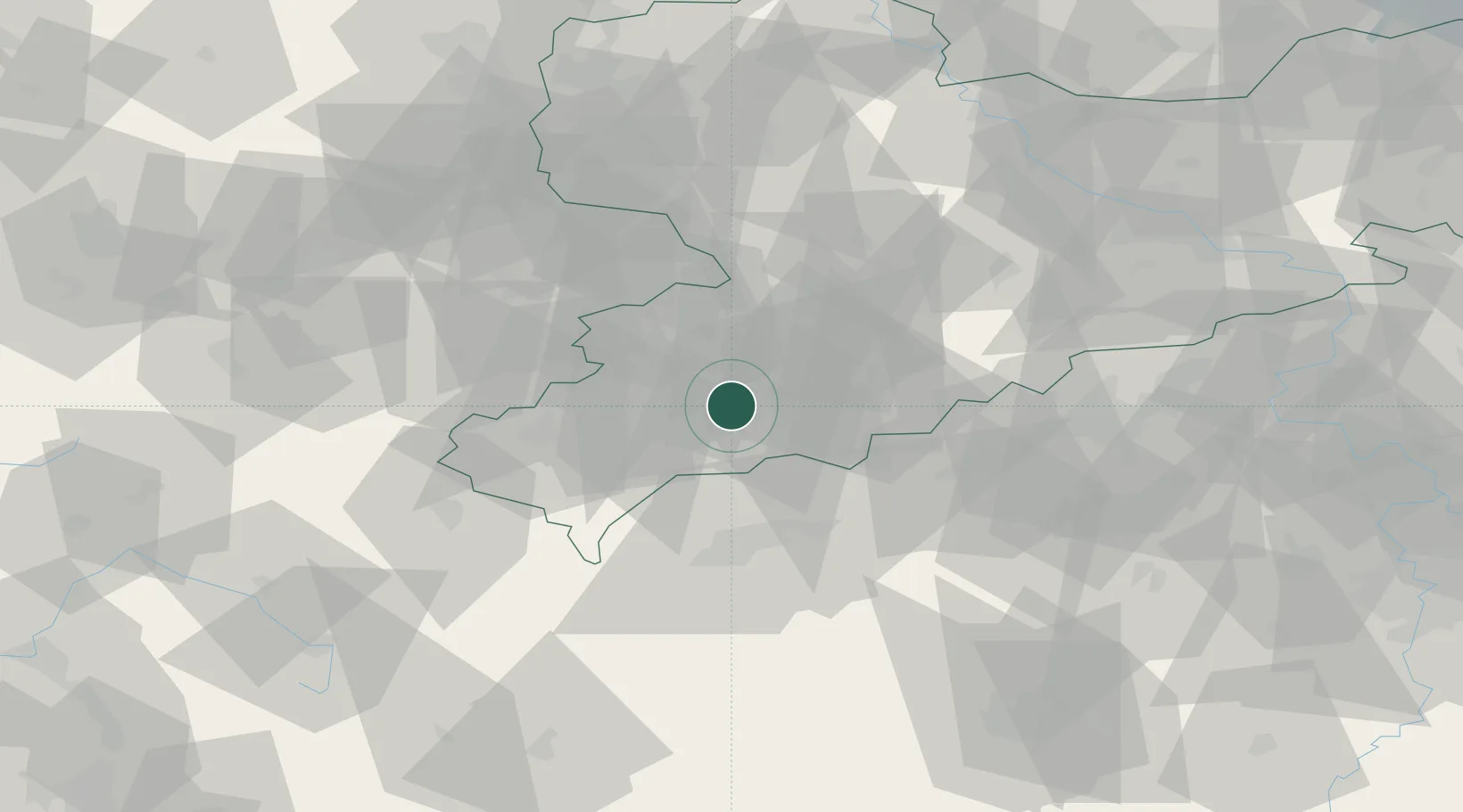
Saxony
Population
5,944
Time zone
Europe/Berlin
Elevation
501 m
Location
Nearby Logistics Neighbours
Cities
- 1Aue-Bad Schlema4 km
- 2Schlema6 km
- 3Eibenstock7 km
- 4Langenweissbach8 km
- 5Zwönitz13 km
Ports
- 1Szczecin343 km
- 2Police358 km
- 3Wismar379 km
- 4Hamburg380 km
- 5Swinoujscie388 km
Airports
- 1Karlovy Vary Airport45 km
- 2Leipzig–Altenburg Airport47 km
- 3Hof-Plauen Airport64 km
- 4Bayreuth Airport97 km
- 5Leipzig/Halle Airport99 km
Trade Zones
DatabookThe Record of Consolidated Knowledge
Germany beyond logistics?