Transport Functions
Multimodal
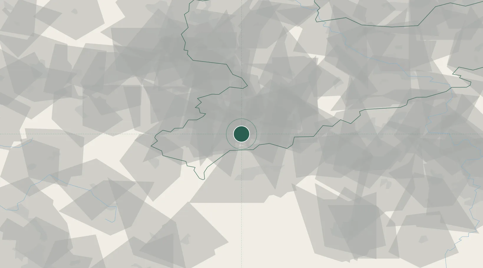
Hub Profile
Place type
Populated place
Region
Saxony
Population
6,706
Time zone
Europe/Berlin
Elevation
641 m
Location
Nearby Logistics Neighbours
Cities
- 1Zschorlau7 km
- 2Aue-Bad Schlema10 km
- 3Schlema12 km
- 4Langenweissbach13 km
- 5Rodewisch13 km
Airports
- 1Karlovy Vary Airport41 km
- 2Leipzig–Altenburg Airport52 km
- 3Hof-Plauen Airport59 km
- 4Bayreuth Airport90 km
- 5Grafenwöhr Army Air Field102 km
Trade Zones
DatabookThe Record of Consolidated Knowledge
Germany beyond logistics?