UN/LOCODE hub · Germany
DEZIC

Langenweissbach

50.6333°, 12.6167°
1
Transport functions

Transport Functions

Multimodal
UN/LOCODE

Hub Profile

Region
SN
GeoNames

Location

Location of DEZIC
Natural Earth 10m (public domain) · SN · DEZIC · 50.63, 12.62GoogleOSMYandex

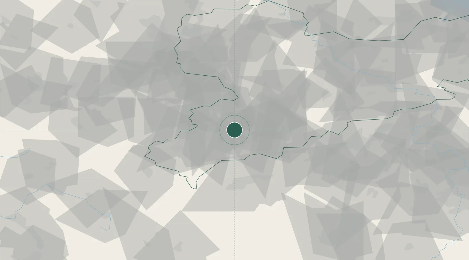
Nearby Logistics Neighbours

Cities
  1. 1Schlema4 km
  2. 2Zschorlau8 km
  3. 3Aue-Bad Schlema8 km
  4. 4Zwönitz13 km
  5. 5Eibenstock13 km
Nearest neighbours — logibook spatial index (haversine) over the source coordinates
Ports
  1. 1Szczecin337 km
  2. 2Police352 km
  3. 3Wismar372 km
  4. 4Hamburg373 km
  5. 5Swinoujscie382 km
Nearest neighbours — logibook spatial index (haversine) over the source coordinates
Airports
  1. 1Leipzig–Altenburg Airport40 km
  2. 2Karlovy Vary Airport52 km
  3. 3Hof-Plauen Airport66 km
  4. 4Leipzig/Halle Airport92 km
  5. 5Dresden Airport98 km
Nearest neighbours — logibook spatial index (haversine) over the source coordinates
Trade Zones
  1. 1Žatec - Triangle Strategic Industrial Zone70 km
  2. 2Podbořany Industrial Zone72 km
  3. 3Most - Joseph Industrial Zone74 km
  4. 4Kolín - Ovčáry Industrial Zone195 km
  5. 5Freeport of Deggendorf200 km
Nearest neighbours — logibook spatial index (haversine) over the source coordinates
DatabookThe Record of Consolidated Knowledge
Germany beyond logistics?
Browse databook

All Sources

LocationsUN/LOCODE
UN/LOCODE — free
Portsthe NGA World Port Index
Public domain (US gov)
AirportsOurAirports
Public domain
Trade Zonesthe World Bank SEZ database
CC BY 4.0
Trade ZonesOpen Zone Map
CC BY
← Germany locations