Medium airport · Germany

Bayreuth AirportEDQD
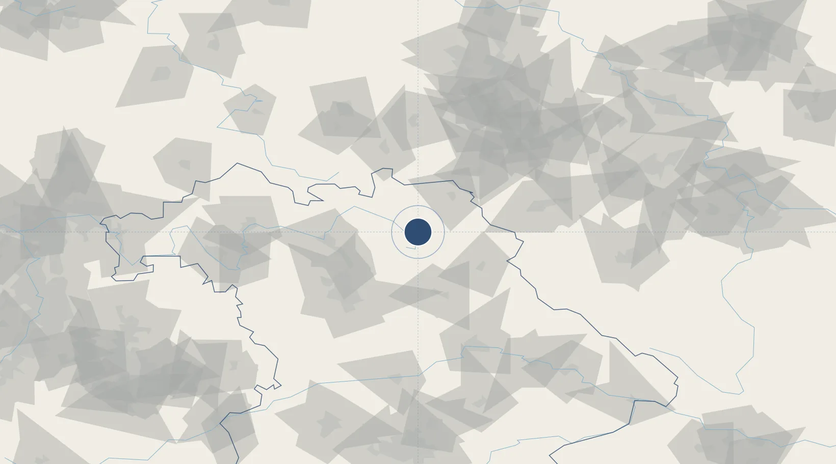
49.9850°, 11.6400°
3,550 ft
Longest runway
1
Runways
1,601 ft
Elevation

Runway & Layout

Bayreuth Airport runway & taxiway layout
Runway & taxiway layout — OpenStreetMap (ODbL) / OurAirports

Radio Frequencies

ATIS
119.56 MHz
Bayreuth ATIS
AFIS
125.8 MHz
Langen Information
INFO
127.53 MHz
Bayreuth Information
RDR
118.975 MHz
MUENCHEN RADAR
OurAirports

Navaids

BAY VOR Bayreuth 110.60 MHz
BAY DME Bayreuth 110.60 MHz
BAZ NDB Bayreuth 420 kHz
OurAirports

Runways · 1

RunwayDimensions SurfaceTrue headingLit
06/24 3,550 × 98ft Asphalt 060°
OurAirports

Airport Specifications

IATA code
BYU
OurAirports
ICAO code
EDQD
OurAirports
Airport class
Medium airport
OurAirports
Scheduled service
No
OurAirports
Runway surface
Asphalt
OurAirports
Served city
Bindlach
OurAirports

Location

Location of EDQD
Natural Earth 10m (public domain) · Bayern · EDQD · 49.99, 11.64GoogleOSMYandex

Nearby Logistics Neighbours

Airports
  1. 1Hof-Plauen Airport37 km
  2. 2Grafenwöhr Army Air Field38 km
  3. 3Bamberg-Breitenau Airfield52 km
  4. 4Nuremberg Airport68 km
  5. 5Hohenfels Army Airfield87 km
Nearest neighbours — logibook spatial index (haversine) over the source coordinates
Cities
  1. 1Goldkronach5 km
  2. 2Harsdorf6 km
  3. 3Bad Berneck8 km
  4. 4Heinersreuth8 km
  5. 5Warmensteinach10 km
Nearest neighbours — logibook spatial index (haversine) over the source coordinates
Ports
  1. 1Bremen402 km
  2. 2Hamburg413 km
  3. 3Oldenburg421 km
  4. 4Elsfleth422 km
  5. 5Szczecin431 km
Nearest neighbours — logibook spatial index (haversine) over the source coordinates
Trade Zones
  1. 1Podbořany Industrial Zone129 km
  2. 2Žatec - Triangle Strategic Industrial Zone142 km
  3. 3Most - Joseph Industrial Zone153 km
  4. 4Freeport of Deggendorf156 km
  5. 5Kolín - Ovčáry Industrial Zone256 km
Nearest neighbours — logibook spatial index (haversine) over the source coordinates
DatabookThe Record of Consolidated Knowledge
Germany beyond logistics?
Browse databook

All Sources

AirportsOurAirports
Public domain
Portsthe NGA World Port Index
Public domain (US gov)
LocationsUN/LOCODE
UN/LOCODE — free
Trade Zonesthe World Bank SEZ database
CC BY 4.0
Trade ZonesOpen Zone Map
CC BY
InfrastructureOpenStreetMap
ODbL 1.0
← Germany airports