Transport Functions
Multimodal
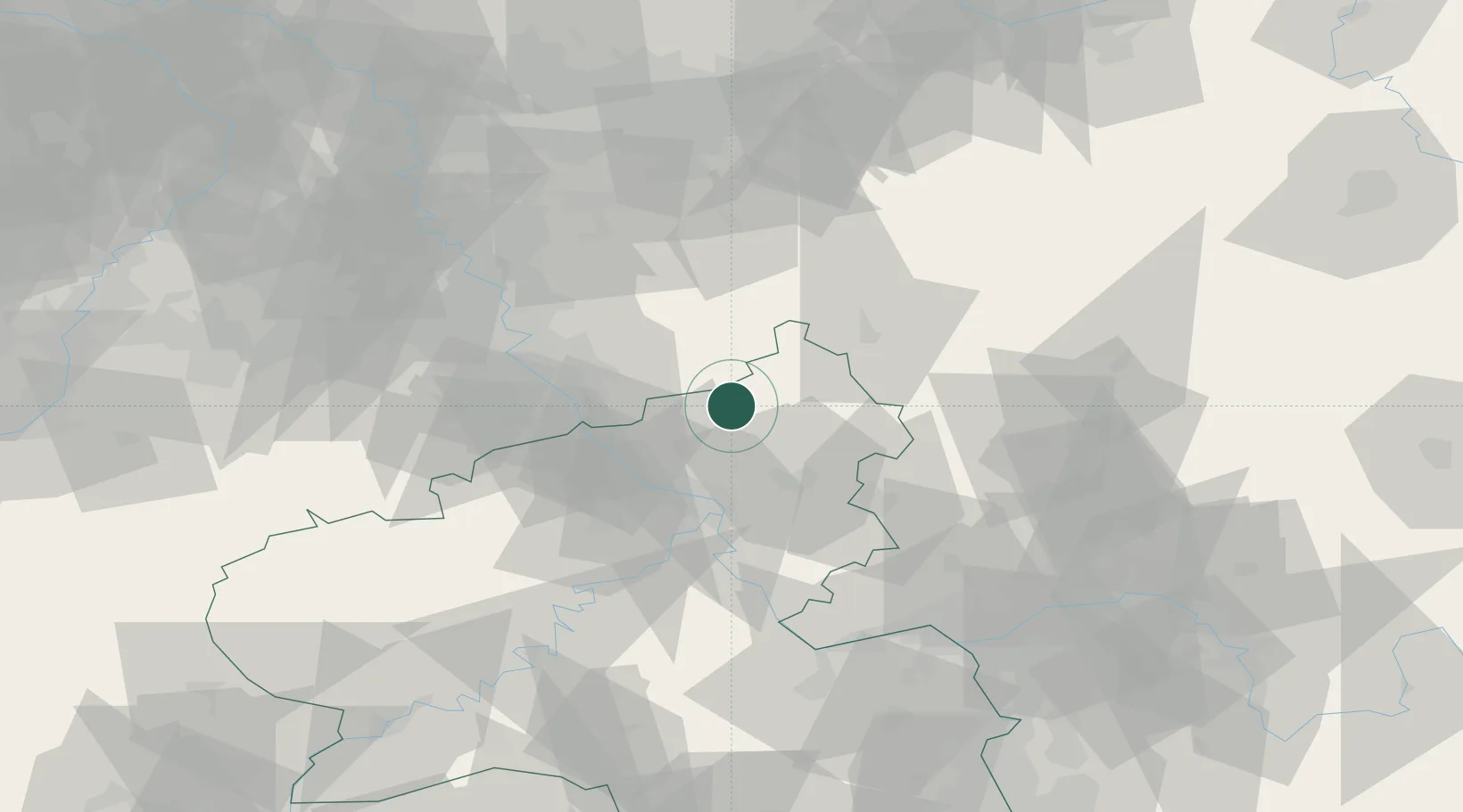
Hub Profile
Place type
Local administrative seat
Region
Rheinland-Pfalz
Population
448
Time zone
Europe/Berlin
Elevation
219 m
Location
Nearby Logistics Neighbours
Cities
- 1Berod bei Hachenburg5 km
- 2Kroppach7 km
- 3Roth9 km
- 4Pracht9 km
- 5Puderbach9 km
Airports
- 1Siegerland Airport32 km
- 2Cologne Bonn Airport40 km
- 3Büchel Air Base70 km
- 4Nörvenich Air Base71 km
- 5Wiesbaden Army Airfield86 km
Trade Zones
- 1Rheinische Revier SWZ92 km
- 2Freeport of Duisburg112 km
- 3Luxembourg Free Port154 km
- 4ZFU La Cité Behren-lès-Forbach176 km
- 5ZFU Woippy-Metz201 km
DatabookThe Record of Consolidated Knowledge
Germany beyond logistics?