Transport Functions
Multimodal
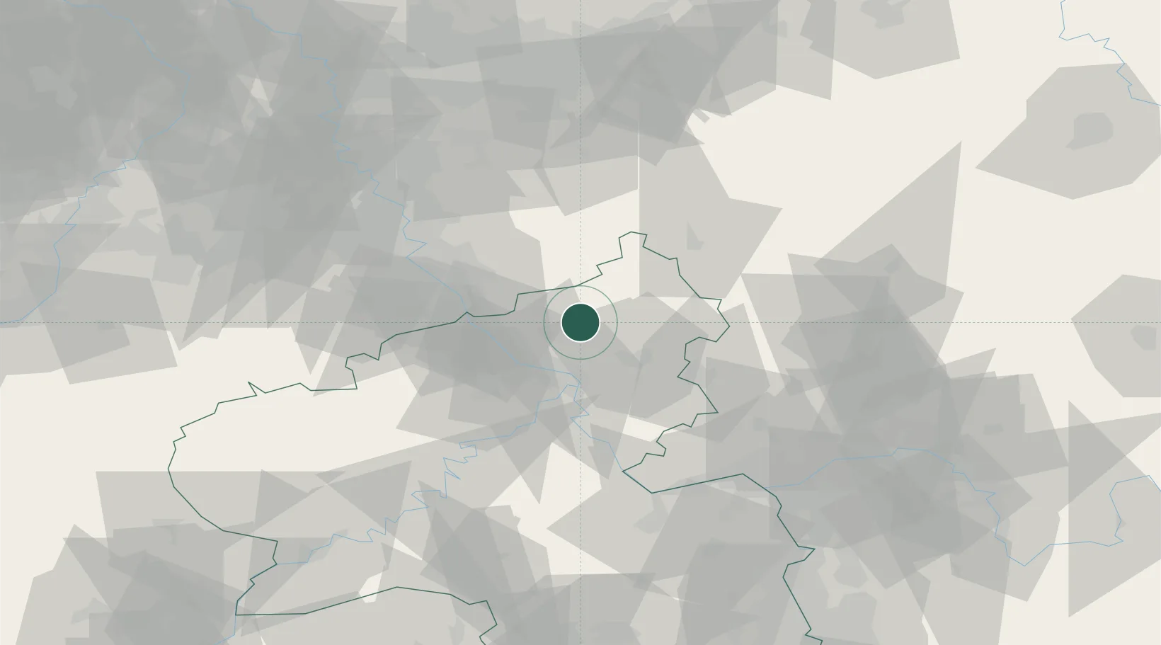
Hub Profile
Place type
Local administrative seat
Region
Rheinland-Pfalz
Population
2,259
Time zone
Europe/Berlin
Elevation
238 m
Location
Nearby Logistics Neighbours
Cities
- 1Güllesheim7 km
- 2Berod bei Hachenburg7 km
- 3Oberlahr8 km
- 4Rüscheid8 km
- 5Kleinmaischeid9 km
Airports
- 1Siegerland Airport35 km
- 2Cologne Bonn Airport45 km
- 3Büchel Air Base62 km
- 4Nörvenich Air Base72 km
- 5Frankfurt-Hahn Airport77 km
Trade Zones
- 1Rheinische Revier SWZ94 km
- 2Freeport of Duisburg119 km
- 3Luxembourg Free Port146 km
- 4ZFU La Cité Behren-lès-Forbach167 km
- 5ZFU Woippy-Metz192 km
DatabookThe Record of Consolidated Knowledge
Germany beyond logistics?