Transport Functions
Road
Multimodal
Hub Profile
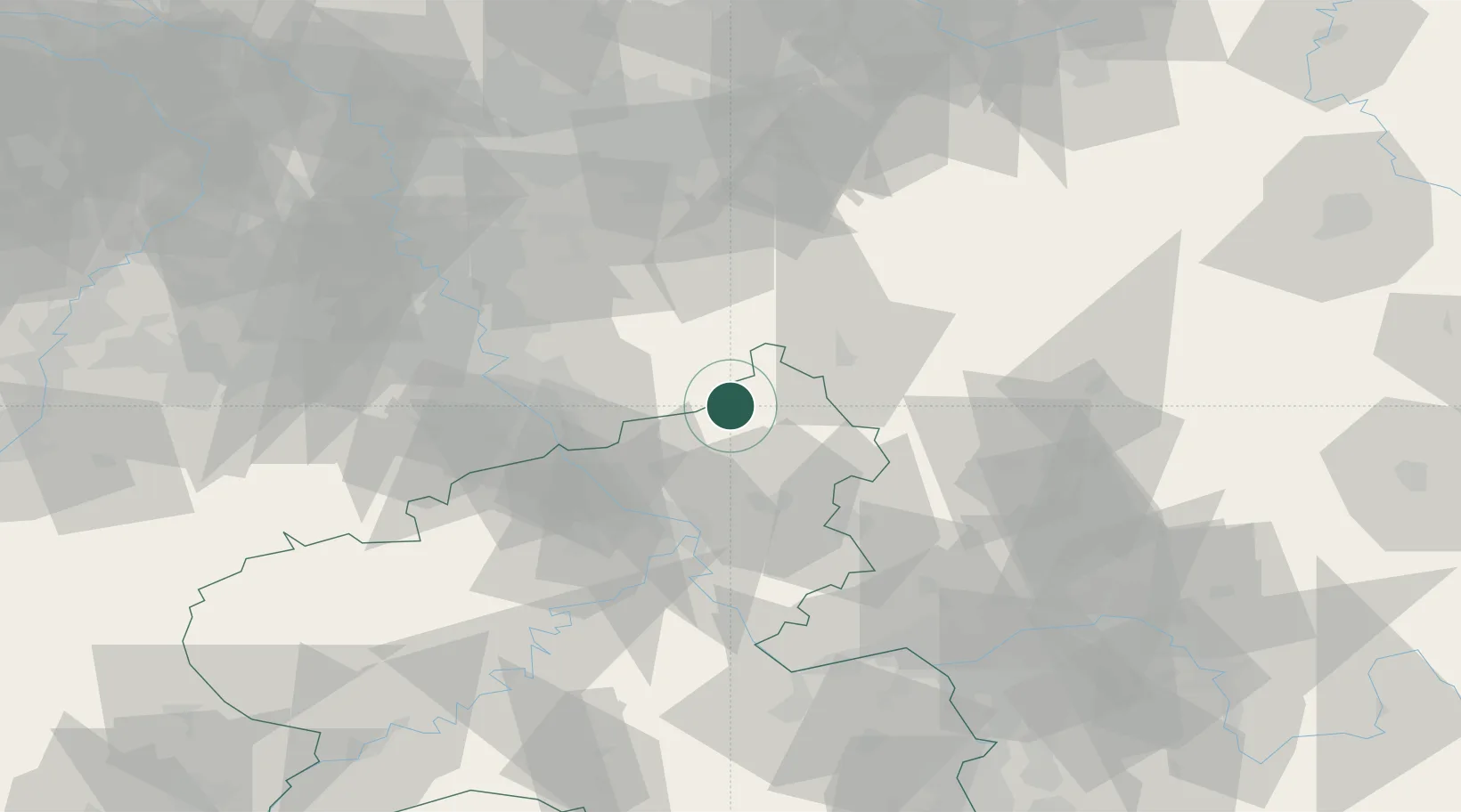
Place type
Local administrative seat
Region
Rheinland-Pfalz
Population
1,554
Time zone
Europe/Berlin
Elevation
267 m
Location
Nearby Logistics Neighbours
Cities
- 1Pracht4 km
- 2Kroppach6 km
- 3Rosbach7 km
- 4Gebhardshain8 km
- 5Almersbach9 km
Airports
- 1Siegerland Airport27 km
- 2Cologne Bonn Airport41 km
- 3Nörvenich Air Base74 km
- 4Büchel Air Base78 km
- 5Dortmund Airport86 km
Trade Zones
- 1Rheinische Revier SWZ94 km
- 2Freeport of Duisburg110 km
- 3Luxembourg Free Port162 km
- 4ZFU La Cité Behren-lès-Forbach185 km
- 5ZFU Woippy-Metz210 km
DatabookThe Record of Consolidated Knowledge
Germany beyond logistics?