Transport Functions
Multimodal
Hub Profile
Place type
Local administrative seat
Region
Rheinland-Pfalz
Population
1,562
Time zone
Europe/Berlin
Elevation
196 m
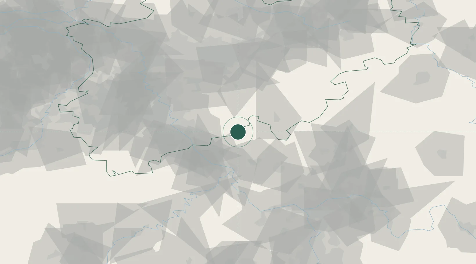
Location
Nearby Logistics Neighbours
Cities
- 1Rosbach3 km
- 2Roth4 km
- 3Windeck8 km
- 4Almersbach9 km
- 5Kroppach10 km
Airports
- 1Siegerland Airport31 km
- 2Cologne Bonn Airport37 km
- 3Nörvenich Air Base70 km
- 4Büchel Air Base78 km
- 5Dortmund Airport84 km
Trade Zones
- 1Rheinische Revier SWZ91 km
- 2Freeport of Duisburg106 km
- 3Luxembourg Free Port161 km
- 4ZFU La Cité Behren-lès-Forbach185 km
- 5ZFU Woippy-Metz209 km
DatabookThe Record of Consolidated Knowledge
Germany beyond logistics?