UN/LOCODE hub · Germany
DEBQC

Berod bei Hachenburg

50.6500°, 7.6833°
1
Transport functions

Transport Functions

Multimodal
UN/LOCODE

Hub Profile

Region
RP
GeoNames

Location

Location of DEBQC
Natural Earth 10m (public domain) · RP · DEBQC · 50.65, 7.68GoogleOSMYandex

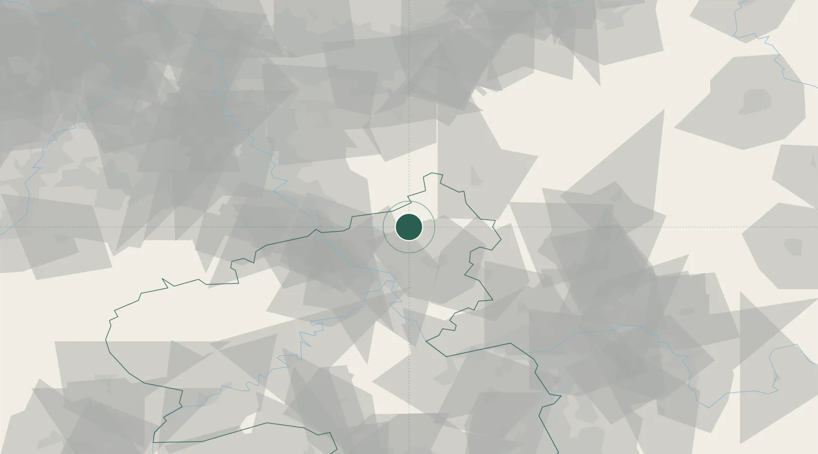
Nearby Logistics Neighbours

Cities
  1. 1Almersbach5 km
  2. 2Kroppach7 km
  3. 3Puderbach7 km
  4. 4Roth11 km
  5. 5Goddert12 km
Nearest neighbours — logibook spatial index (haversine) over the source coordinates
Ports
  1. 1Bruxelles236 km
  2. 2Antwerpen239 km
  3. 3Dordrecht248 km
  4. 4Rotterdam262 km
  5. 5Schiedam267 km
Nearest neighbours — logibook spatial index (haversine) over the source coordinates
Airports
  1. 1Siegerland Airport29 km
  2. 2Cologne Bonn Airport45 km
  3. 3Büchel Air Base69 km
  4. 4Nörvenich Air Base75 km
  5. 5Wiesbaden Army Airfield81 km
Nearest neighbours — logibook spatial index (haversine) over the source coordinates
Trade Zones
  1. 1Rheinische Revier SWZ96 km
  2. 2Freeport of Duisburg117 km
  3. 3Luxembourg Free Port153 km
  4. 4ZFU La Cité Behren-lès-Forbach174 km
  5. 5ZFU Woippy-Metz200 km
Nearest neighbours — logibook spatial index (haversine) over the source coordinates
DatabookThe Record of Consolidated Knowledge
Germany beyond logistics?
Browse databook

All Sources

LocationsUN/LOCODE
UN/LOCODE — free
Portsthe NGA World Port Index
Public domain (US gov)
AirportsOurAirports
Public domain
Trade Zonesthe World Bank SEZ database
CC BY 4.0
Trade ZonesOpen Zone Map
CC BY
← Germany locations