Transport Functions
Multimodal
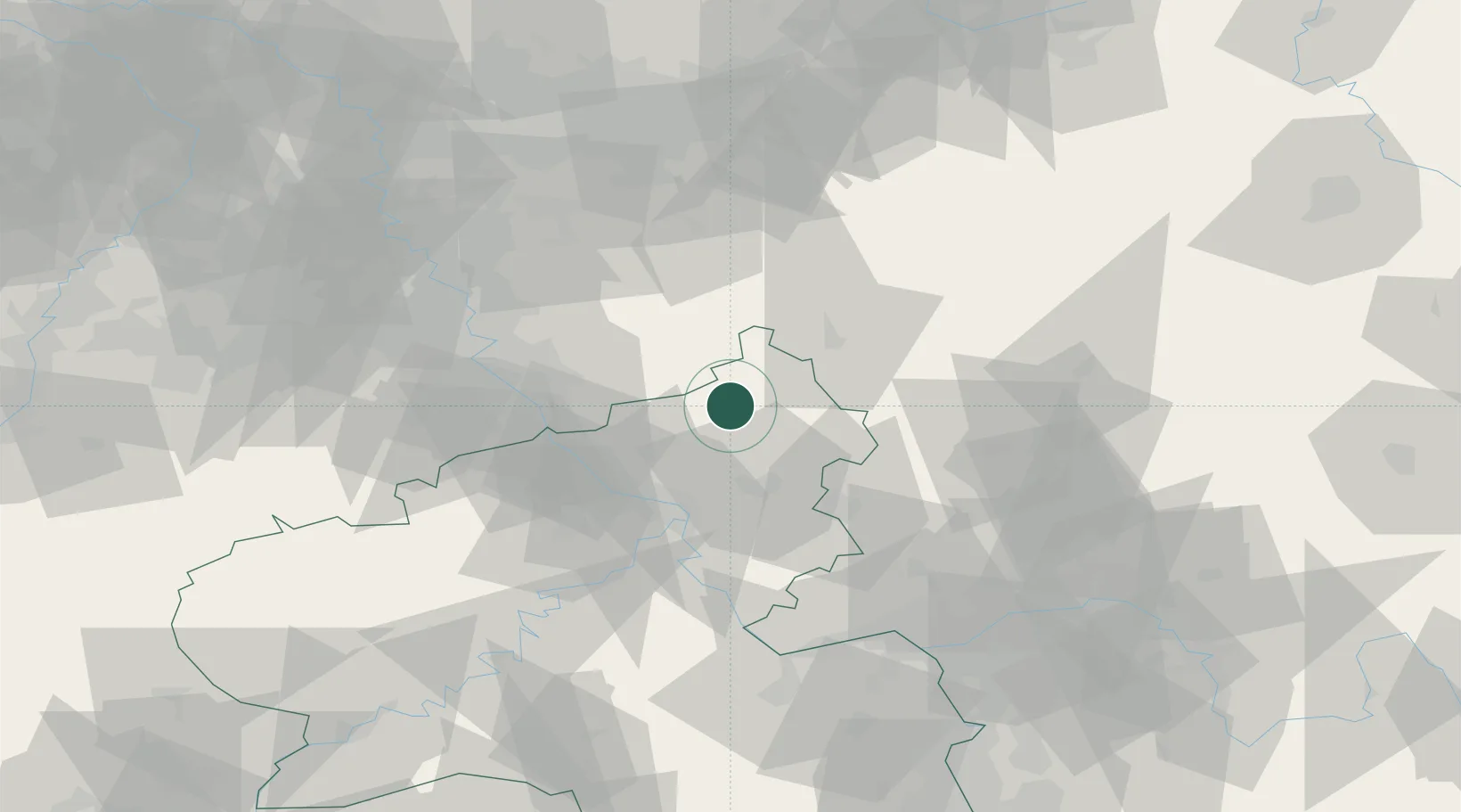
Hub Profile
Place type
Local administrative seat
Region
Rheinland-Pfalz
Population
668
Time zone
Europe/Berlin
Elevation
300 m
Location
Nearby Logistics Neighbours
Cities
- 1Roth6 km
- 2Berod bei Hachenburg7 km
- 3Rosenheim7 km
- 4Almersbach7 km
- 5Gebhardshain8 km
Airports
- 1Siegerland Airport25 km
- 2Cologne Bonn Airport45 km
- 3Büchel Air Base75 km
- 4Nörvenich Air Base77 km
- 5Wiesbaden Army Airfield84 km
Trade Zones
- 1Rheinische Revier SWZ98 km
- 2Freeport of Duisburg115 km
- 3Luxembourg Free Port160 km
- 4ZFU La Cité Behren-lès-Forbach180 km
- 5ZFU Woippy-Metz206 km
DatabookThe Record of Consolidated Knowledge
Germany beyond logistics?