Transport Functions
Road
Multimodal
Hub Profile
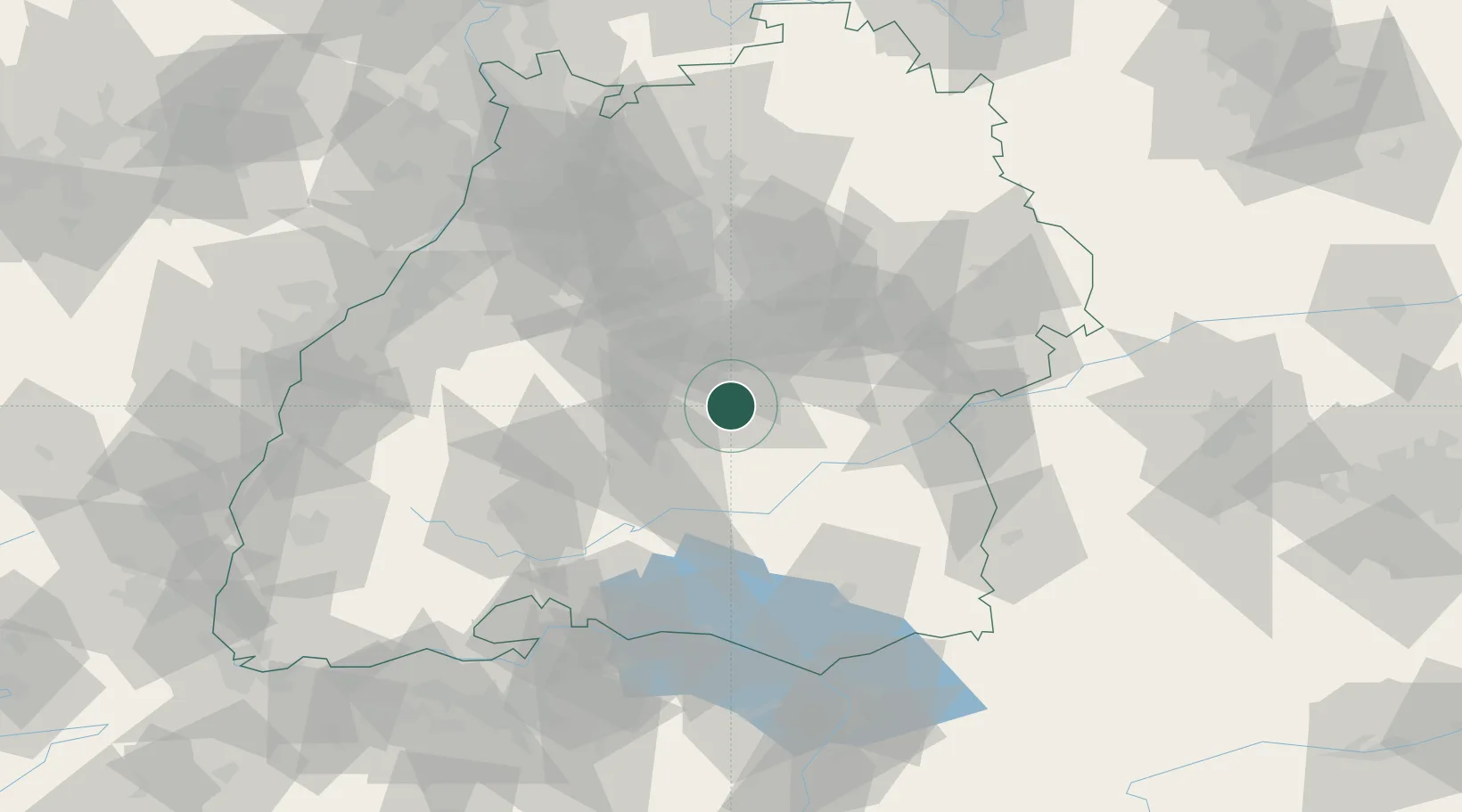
Region
BW
Location
Nearby Logistics Neighbours
Cities
- 1Eningen unter Achalm6 km
- 2Engstingen6 km
- 3Wannweil12 km
- 4Kirchentellinsfurt13 km
- 5Pliezhausen14 km
Ports
- 1Porto Di Lido-Venezia413 km
- 2Nogaro420 km
- 3Porto Di Chioggia425 km
- 4Grado432 km
- 5Monfalcone439 km
Airports
- 1Stuttgart Airport29 km
- 2Mengen-Hohentengen Airfield43 km
- 3Laupheim Air Base54 km
- 4Donaueschingen-Villingen Airfield74 km
- 5Adolf Würth Airport86 km
Trade Zones
- 1ZFU Neuhof110 km
- 2ZFU Hautepierre116 km
- 3ZFU Mulhouse161 km
- 4ZFU La Cité Behren-lès-Forbach189 km
- 5ZFU Belfort202 km
DatabookThe Record of Consolidated Knowledge
Germany beyond logistics?