Transport Functions
Port
Multimodal
Hub Profile
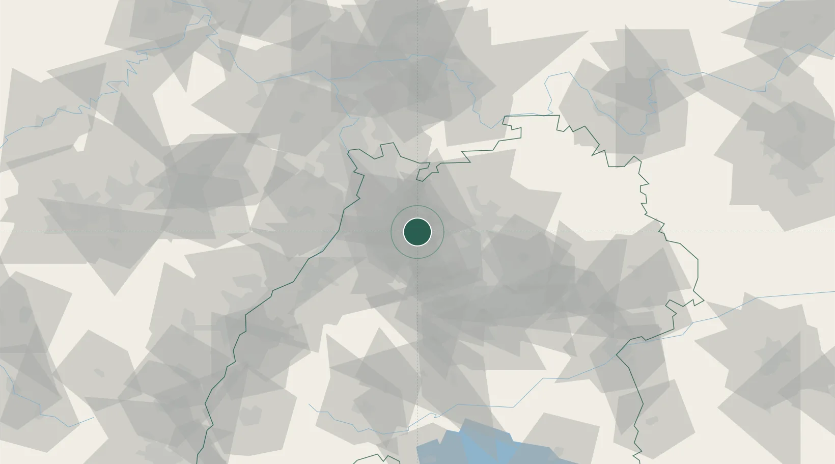
Place type
Local administrative seat
Region
Baden-Wurttemberg
Population
1,776
Time zone
Europe/Berlin
Elevation
185 m
Location
Nearby Logistics Neighbours
Cities
- 1Sulzfeld2 km
- 2Michelbach am Heuchelberg9 km
- 3Ludwigswinkel11 km
- 4Pfaffenhofen12 km
- 5Güglingen13 km
Airports
- 1Mannheim-City Airport47 km
- 2Stuttgart Airport54 km
- 3Karlsruhe Baden-Baden Airport65 km
- 4Adolf Würth Airport70 km
- 5Niederstetten Army Air Base89 km
Trade Zones
- 1ZFU Neuhof99 km
- 2ZFU Hautepierre100 km
- 3ZFU La Cité Behren-lès-Forbach138 km
- 4ZFU Mulhouse186 km
- 5ZFU Metz193 km
DatabookThe Record of Consolidated Knowledge
Germany beyond logistics?