Transport Functions
Multimodal
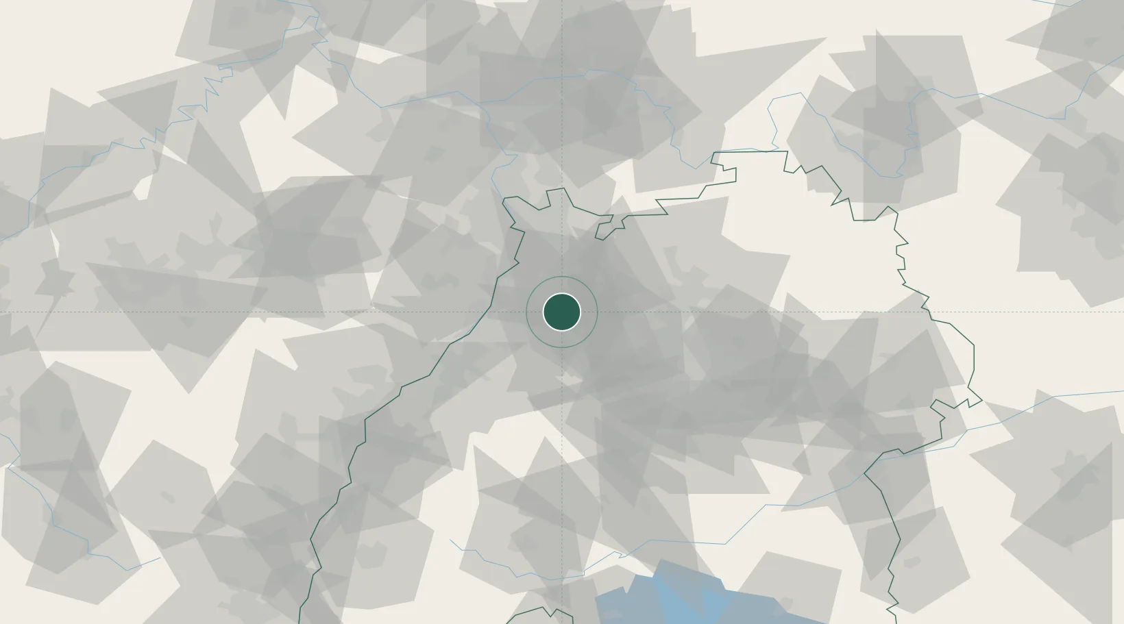
Hub Profile
Place type
Local administrative seat
Region
Rheinland-Pfalz
Population
907
Time zone
Europe/Berlin
Elevation
242 m
Location
Nearby Logistics Neighbours
Cities
- 1Walzbachtal9 km
- 2Ubstadt-Weiher10 km
- 3Zaisenhausen11 km
- 4Karlsdorf-Neuthard12 km
- 5Königsbach-Stein14 km
Airports
- 1Mannheim-City Airport45 km
- 2Karlsruhe Baden-Baden Airport55 km
- 3Stuttgart Airport60 km
- 4Adolf Würth Airport81 km
- 5Ramstein Air Base87 km
Trade Zones
- 1ZFU Neuhof90 km
- 2ZFU Hautepierre90 km
- 3ZFU La Cité Behren-lès-Forbach127 km
- 4ZFU Mulhouse178 km
- 5ZFU Metz182 km
DatabookThe Record of Consolidated Knowledge
Germany beyond logistics?