UN/LOCODE hub · Germany
DEUZD

Sulzfeld

49.1000°, 8.8500°
4,677
Population
2
Transport functions

Transport Functions

Rail
Road
UN/LOCODE

Hub Profile

Place type
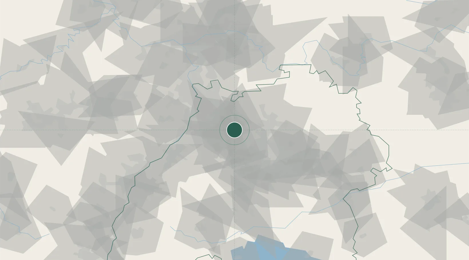
Local administrative seat
GeoNames
Region
Baden-Wurttemberg
GeoNames
Population
4,677
GeoNames
Time zone
Europe/Berlin
GeoNames
Elevation
195 m
GeoNames

Location

Location of DEUZD
Natural Earth 10m (public domain) · Baden-Wurttemberg · DEUZD · 49.10, 8.85GoogleOSMYandex

Nearby Logistics Neighbours

Cities
  1. 1Zaisenhausen2 km
  2. 2Michelbach am Heuchelberg7 km
  3. 3Pfaffenhofen9 km
  4. 4Güglingen10 km
  5. 5Ludwigswinkel14 km
Nearest neighbours — logibook spatial index (haversine) over the source coordinates
Ports
  1. 1Bruxelles377 km
  2. 2Antwerpen395 km
  3. 3Dordrecht424 km
  4. 4Hansweert432 km
  5. 5Rotterdam438 km
Nearest neighbours — logibook spatial index (haversine) over the source coordinates
Airports
  1. 1Mannheim-City Airport48 km
  2. 2Stuttgart Airport53 km
  3. 3Karlsruhe Baden-Baden Airport67 km
  4. 4Adolf Würth Airport68 km
  5. 5Niederstetten Army Air Base87 km
Nearest neighbours — logibook spatial index (haversine) over the source coordinates
Trade Zones
  1. 1ZFU Neuhof101 km
  2. 2ZFU Hautepierre102 km
  3. 3ZFU La Cité Behren-lès-Forbach140 km
  4. 4ZFU Mulhouse187 km
  5. 5ZFU Metz196 km
Nearest neighbours — logibook spatial index (haversine) over the source coordinates
DatabookThe Record of Consolidated Knowledge
Germany beyond logistics?
Browse databook

All Sources

LocationsUN/LOCODE
UN/LOCODE — free
LocationsGeoNames
CC BY 4.0
Portsthe NGA World Port Index
Public domain (US gov)
AirportsOurAirports
Public domain
Trade Zonesthe World Bank SEZ database
CC BY 4.0
Trade ZonesOpen Zone Map
CC BY
← Germany locations