Transport Functions
Port
Road
Hub Profile
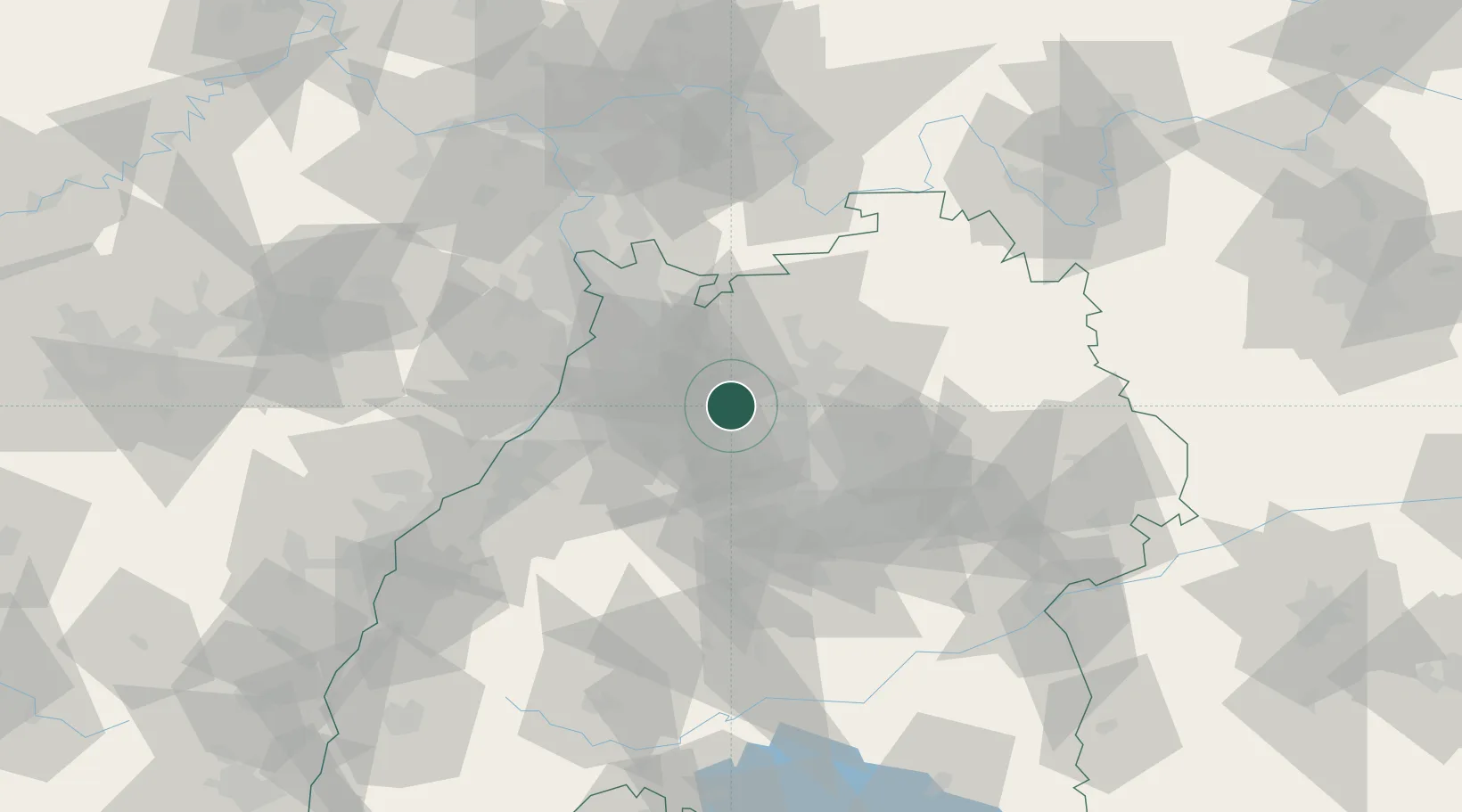
Place type
Populated place
Region
Baden-Wurttemberg
Time zone
Europe/Berlin
Elevation
232 m
Location
Nearby Logistics Neighbours
Cities
- 1Pfaffenhofen2 km
- 2Güglingen4 km
- 3Sulzfeld7 km
- 4Zaisenhausen9 km
- 5Bönnigheim13 km
Airports
- 1Stuttgart Airport47 km
- 2Mannheim-City Airport55 km
- 3Adolf Würth Airport62 km
- 4Karlsruhe Baden-Baden Airport70 km
- 5Niederstetten Army Air Base83 km
Trade Zones
- 1ZFU Neuhof104 km
- 2ZFU Hautepierre105 km
- 3ZFU La Cité Behren-lès-Forbach146 km
- 4ZFU Mulhouse188 km
- 5ZFU Metz202 km
DatabookThe Record of Consolidated Knowledge
Germany beyond logistics?