Transport Functions
Multimodal
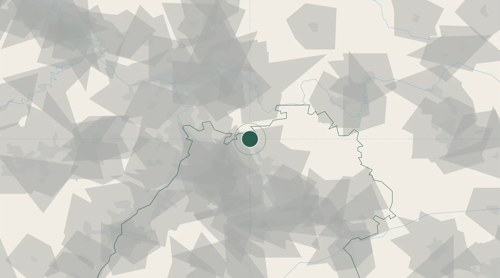
Hub Profile
Place type
Local administrative seat
Region
Bavaria
Population
2,582
Time zone
Europe/Berlin
Elevation
316 m
Location
Nearby Logistics Neighbours
Cities
- 1Eberbach6 km
- 2Schwanheim9 km
- 3Diedesheim/Mosbach12 km
- 4Mosbach12 km
- 5Rothenberg (Odenwaldkreis)12 km
Airports
- 1Mannheim-City Airport40 km
- 2Adolf Würth Airport64 km
- 3Frankfurt-Egelsbach Airport64 km
- 4Niederstetten Army Air Base65 km
- 5Frankfurt Main Airport74 km
Trade Zones
- 1ZFU Hautepierre138 km
- 2ZFU Neuhof139 km
- 3ZFU La Cité Behren-lès-Forbach158 km
- 4Luxembourg Free Port206 km
- 5ZFU Woippy-Metz214 km
DatabookThe Record of Consolidated Knowledge
Germany beyond logistics?