Transport Functions
Multimodal
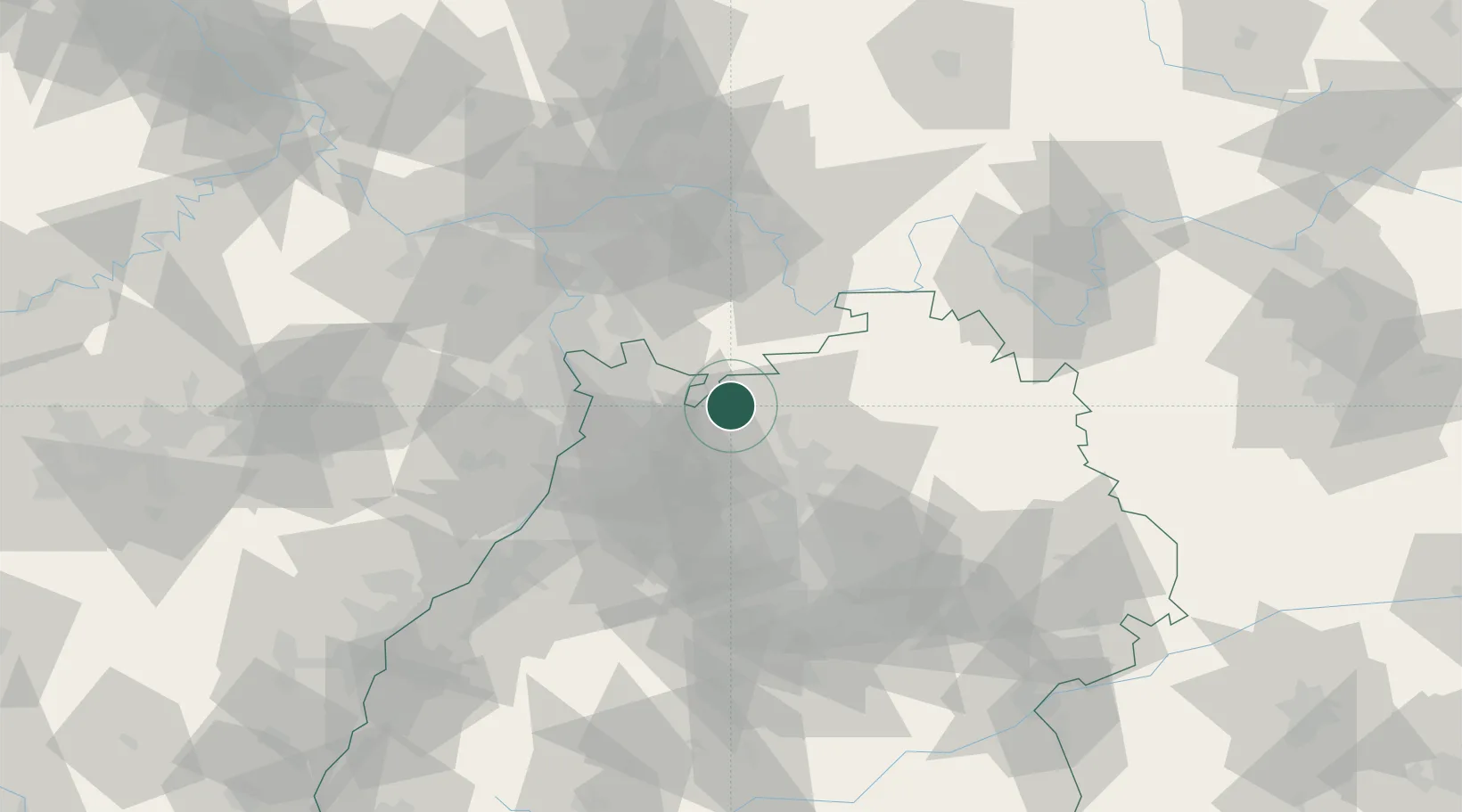
Hub Profile
Place type
Populated place
Region
Baden-Wurttemberg
Time zone
Europe/Berlin
Elevation
363 m
Location
Nearby Logistics Neighbours
Cities
- 1Reichartshausen6 km
- 2Eberbach8 km
- 3Waldbrunn9 km
- 4Helmstadt-Bargen9 km
- 5Rothenberg (Odenwaldkreis)12 km
Airports
- 1Mannheim-City Airport34 km
- 2Frankfurt-Egelsbach Airport67 km
- 3Adolf Würth Airport67 km
- 4Niederstetten Army Air Base72 km
- 5Frankfurt Main Airport76 km
Trade Zones
- 1ZFU Hautepierre129 km
- 2ZFU Neuhof130 km
- 3ZFU La Cité Behren-lès-Forbach150 km
- 4Luxembourg Free Port200 km
- 5ZFU Metz206 km
DatabookThe Record of Consolidated Knowledge
Germany beyond logistics?