Transport Functions
Road
Multimodal
Hub Profile
Region
HE
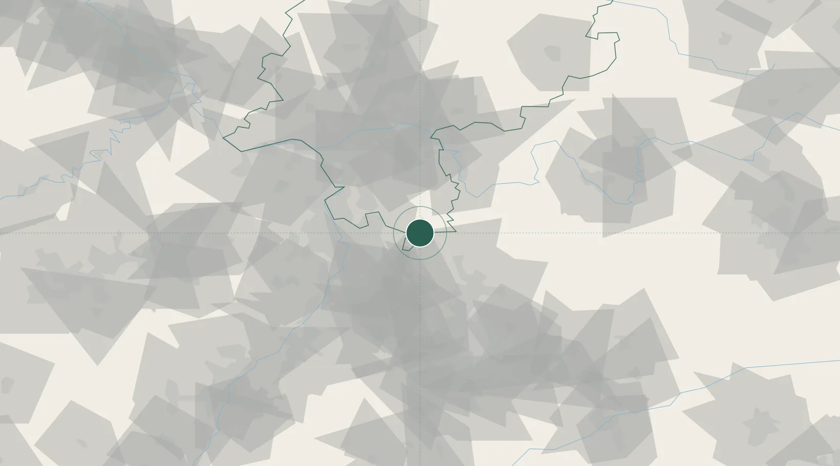
Location
Nearby Logistics Neighbours
Cities
- 1Eberbach6 km
- 2Ober-Abtsteinach10 km
- 3Schwanheim12 km
- 4Waldbrunn12 km
- 5Gras-Ellenbach14 km
Airports
- 1Mannheim-City Airport29 km
- 2Frankfurt-Egelsbach Airport55 km
- 3Frankfurt Main Airport64 km
- 4Wiesbaden Army Airfield74 km
- 5Adolf Würth Airport76 km
Trade Zones
- 1ZFU Hautepierre135 km
- 2ZFU Neuhof136 km
- 3ZFU La Cité Behren-lès-Forbach149 km
- 4Luxembourg Free Port195 km
- 5ZFU Woippy-Metz204 km
DatabookThe Record of Consolidated Knowledge
Germany beyond logistics?