Transport Functions
Port
Rail
Road
Hub Profile
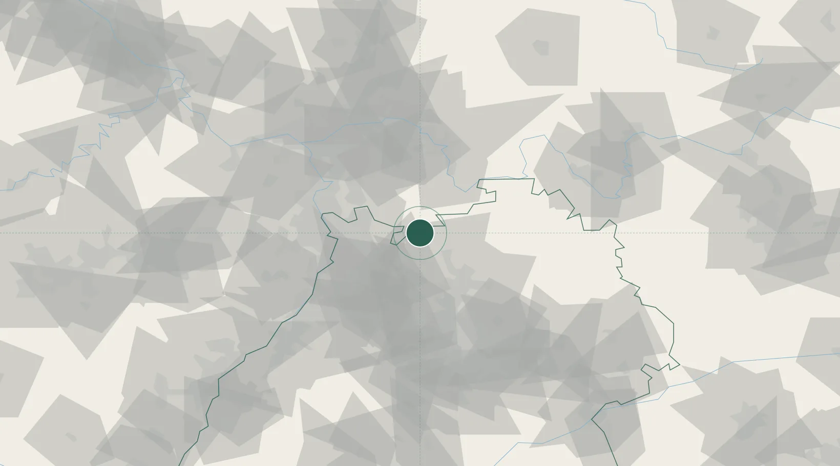
Place type
Populated place
Region
Baden-Wurttemberg
Population
15,624
Time zone
Europe/Berlin
Elevation
144 m
Location
Nearby Logistics Neighbours
Cities
- 1Rothenberg (Odenwaldkreis)6 km
- 2Waldbrunn6 km
- 3Schwanheim8 km
- 4Reichartshausen14 km
- 5Diedesheim/Mosbach16 km
Airports
- 1Mannheim-City Airport34 km
- 2Frankfurt-Egelsbach Airport60 km
- 3Frankfurt Main Airport69 km
- 4Adolf Würth Airport70 km
- 5Niederstetten Army Air Base71 km
Trade Zones
- 1ZFU Hautepierre135 km
- 2ZFU Neuhof136 km
- 3ZFU La Cité Behren-lès-Forbach153 km
- 4Luxembourg Free Port200 km
- 5ZFU Woippy-Metz209 km
DatabookThe Record of Consolidated Knowledge
Germany beyond logistics?