Transport Functions
Multimodal
Hub Profile
Place type
Populated place
Region
Baden-Wurttemberg
Time zone
Europe/Berlin
Elevation
106 m
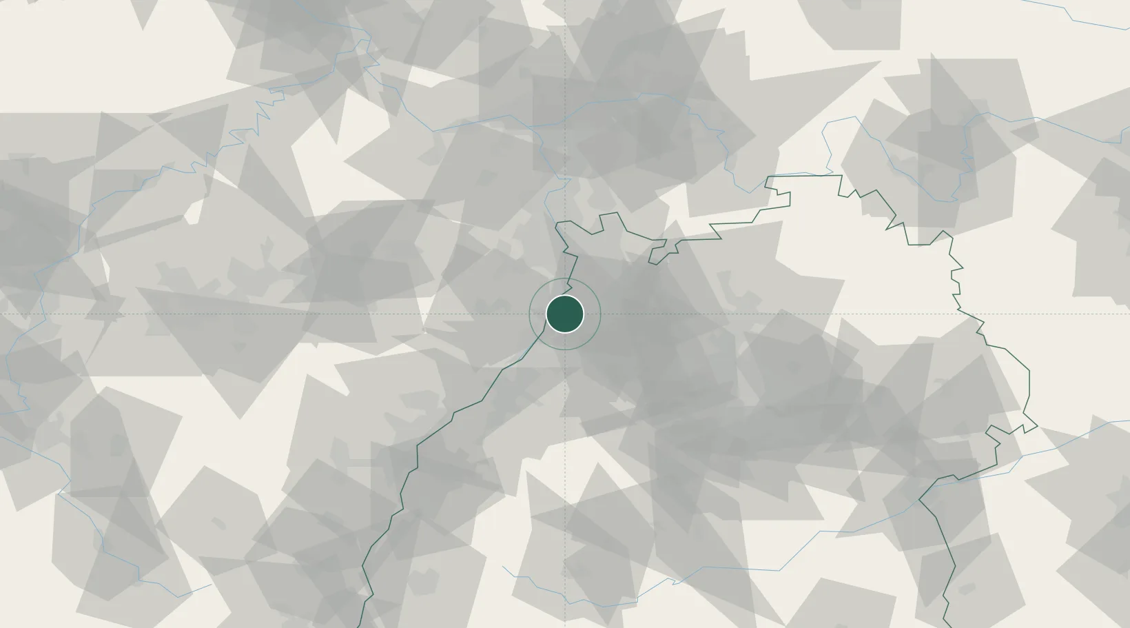
Location
Nearby Logistics Neighbours
Cities
- 1Linkenheim-Hochstetten6 km
- 2Hambrücken7 km
- 3Karlsdorf-Neuthard7 km
- 4Germersheim8 km
- 5Oberhausen-Rheinhausen10 km
Airports
- 1Mannheim-City Airport33 km
- 2Karlsruhe Baden-Baden Airport52 km
- 3Ramstein Air Base68 km
- 4Stuttgart Airport79 km
- 5Frankfurt-Egelsbach Airport88 km
Trade Zones
- 1ZFU Hautepierre86 km
- 2ZFU Neuhof87 km
- 3ZFU La Cité Behren-lès-Forbach111 km
- 4ZFU Metz167 km
- 5ZFU Woippy-Metz167 km
DatabookThe Record of Consolidated Knowledge
Germany beyond logistics?