Transport Functions
Port
Rail
Road
Hub Profile
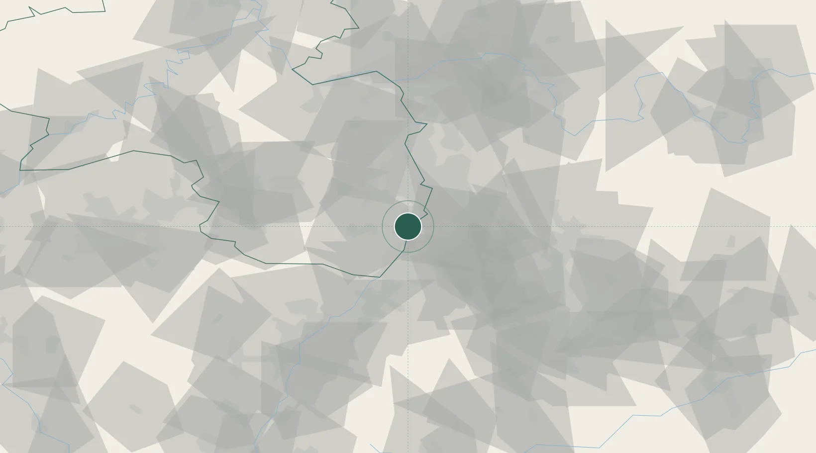
Place type
District seat
Region
Rheinland-Pfalz
Population
20,972
Time zone
Europe/Berlin
Elevation
108 m
Logistics facilities
1
Location
Nearby Logistics Neighbours
Cities
- 1Lingenfeld4 km
- 2Schwegenheim6 km
- 3Harthausen7 km
- 4Huttenheim8 km
- 5Lustadt8 km
Airports
- 1Mannheim-City Airport29 km
- 2Karlsruhe Baden-Baden Airport55 km
- 3Ramstein Air Base61 km
- 4Frankfurt-Egelsbach Airport83 km
- 5Mainz-Finthen Airfield84 km
Trade Zones
- 1ZFU Hautepierre87 km
- 2ZFU Neuhof89 km
- 3ZFU La Cité Behren-lès-Forbach106 km
- 4ZFU Metz162 km
- 5ZFU Woippy-Metz162 km
DatabookThe Record of Consolidated Knowledge
Germany beyond logistics?