UN/LOCODE hub · Germany
DELYN

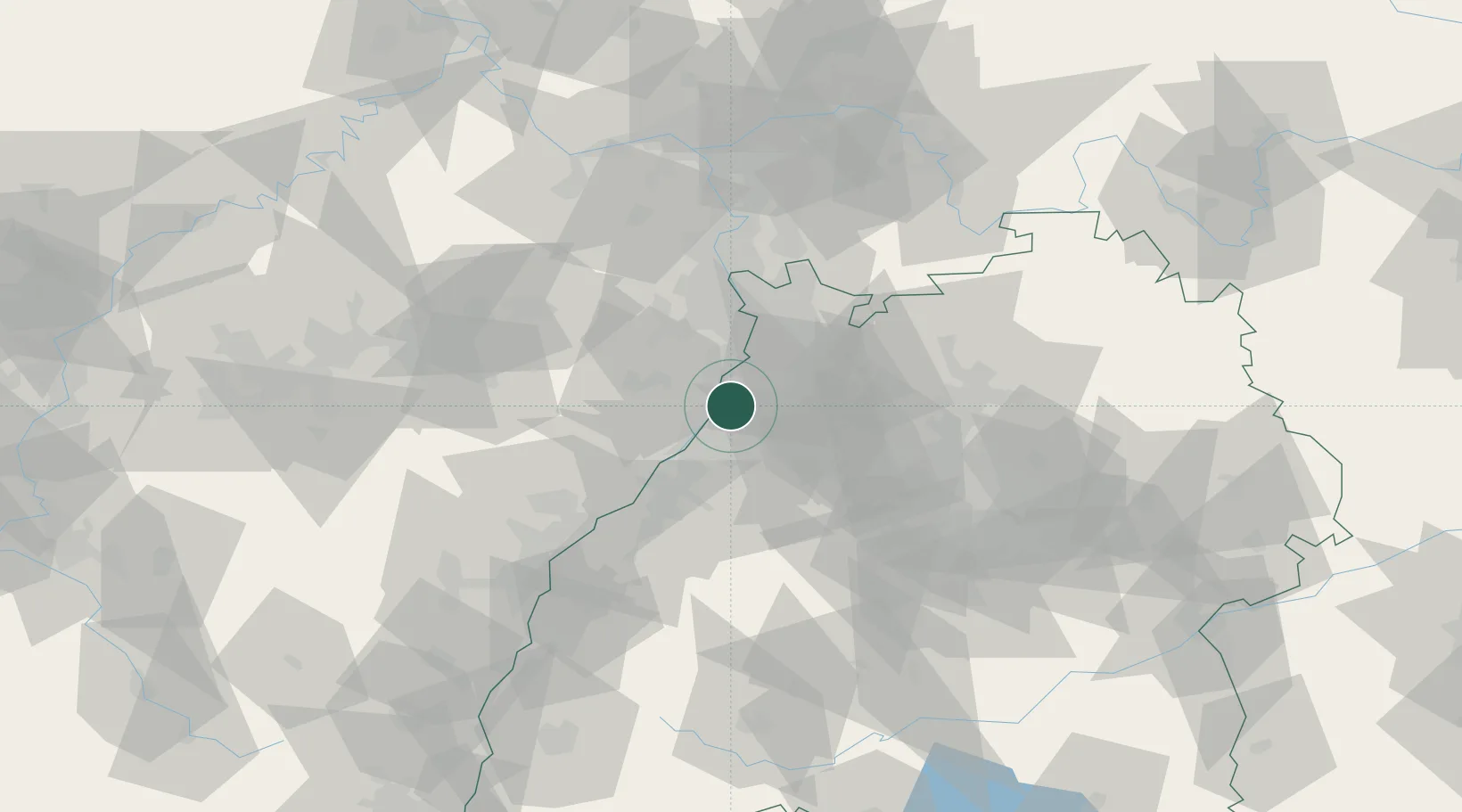
Linkenheim-Hochstetten

49.1333°, 8.4167°
11,599
Population
1
Transport functions

Transport Functions

Multimodal
UN/LOCODE

Hub Profile

Place type
Local administrative seat
GeoNames
Region
Baden-Wurttemberg
GeoNames
Population
11,599
GeoNames
Time zone
Europe/Berlin
GeoNames
Elevation
106 m
GeoNames

Location

Location of DELYN
Natural Earth 10m (public domain) · Baden-Wurttemberg · DELYN · 49.13, 8.42GoogleOSMYandex

Nearby Logistics Neighbours

Cities
  1. 1Huttenheim6 km
  2. 2Karlsdorf-Neuthard7 km
  3. 3Rülzheim10 km
  4. 4Rheinzabern11 km
  5. 5Hambrücken11 km
Nearest neighbours — logibook spatial index (haversine) over the source coordinates
Ports
  1. 1Bruxelles349 km
  2. 2Antwerpen368 km
  3. 3Dordrecht400 km
  4. 4Hansweert406 km
  5. 5Rotterdam415 km
Nearest neighbours — logibook spatial index (haversine) over the source coordinates
Airports
  1. 1Mannheim-City Airport38 km
  2. 2Karlsruhe Baden-Baden Airport46 km
  3. 3Ramstein Air Base68 km
  4. 4Stuttgart Airport77 km
  5. 5Strasbourg Airport88 km
Nearest neighbours — logibook spatial index (haversine) over the source coordinates
Trade Zones
  1. 1ZFU Hautepierre80 km
  2. 2ZFU Neuhof81 km
  3. 3ZFU La Cité Behren-lès-Forbach108 km
  4. 4ZFU Metz164 km
  5. 5ZFU Woippy-Metz165 km
Nearest neighbours — logibook spatial index (haversine) over the source coordinates
DatabookThe Record of Consolidated Knowledge
Germany beyond logistics?
Browse databook

All Sources

LocationsUN/LOCODE
UN/LOCODE — free
LocationsGeoNames
CC BY 4.0
Portsthe NGA World Port Index
Public domain (US gov)
AirportsOurAirports
Public domain
Trade Zonesthe World Bank SEZ database
CC BY 4.0
Trade ZonesOpen Zone Map
CC BY
← Germany locations