Transport Functions
Road
Multimodal
Hub Profile
Region
TH
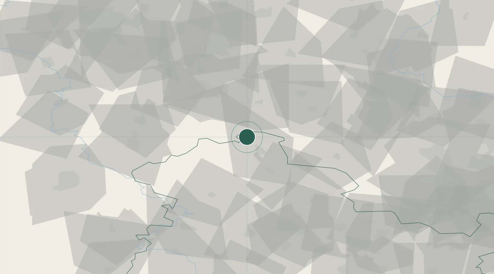
Location
Nearby Logistics Neighbours
Cities
- 1Ellrich3 km
- 2Walkenried6 km
- 3Wipperdorf17 km
- 4Strassberg24 km
- 5Blankenburg27 km
Airports
- 1Eisenach-Kindel Airport69 km
- 2Erfurt-Weimar Airport72 km
- 3Braunschweig-Wolfsburg Airport81 km
- 4Kassel Airport93 km
- 5Leipzig/Halle Airport108 km
Trade Zones
DatabookThe Record of Consolidated Knowledge
Germany beyond logistics?