Transport Functions
Rail
Road
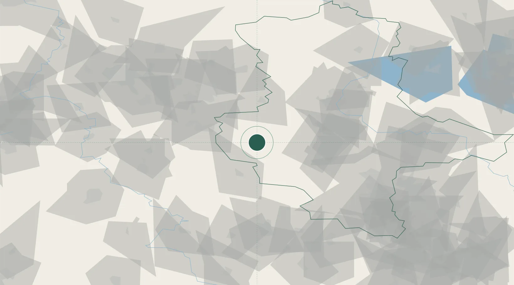
Hub Profile
Place type
Populated place
Region
Saxony-Anhalt
Population
15,963
Time zone
Europe/Berlin
Elevation
229 m
Location
Nearby Logistics Neighbours
Cities
- 1Derenburg10 km
- 2Rieder16 km
- 3Wegeleben19 km
- 4Strassberg20 km
- 5Berssel22 km
Airports
- 1Braunschweig-Wolfsburg Airport65 km
- 2Zerbst Airfield86 km
- 3Erfurt-Weimar Airport90 km
- 4Eisenach-Kindel Airport94 km
- 5Leipzig/Halle Airport97 km
Trade Zones
DatabookThe Record of Consolidated Knowledge
Germany beyond logistics?