Transport Functions
Rail
Road
Hub Profile
Place type
Populated place
Region
Saxony-Anhalt
Population
832
Time zone
Europe/Berlin
Elevation
383 m
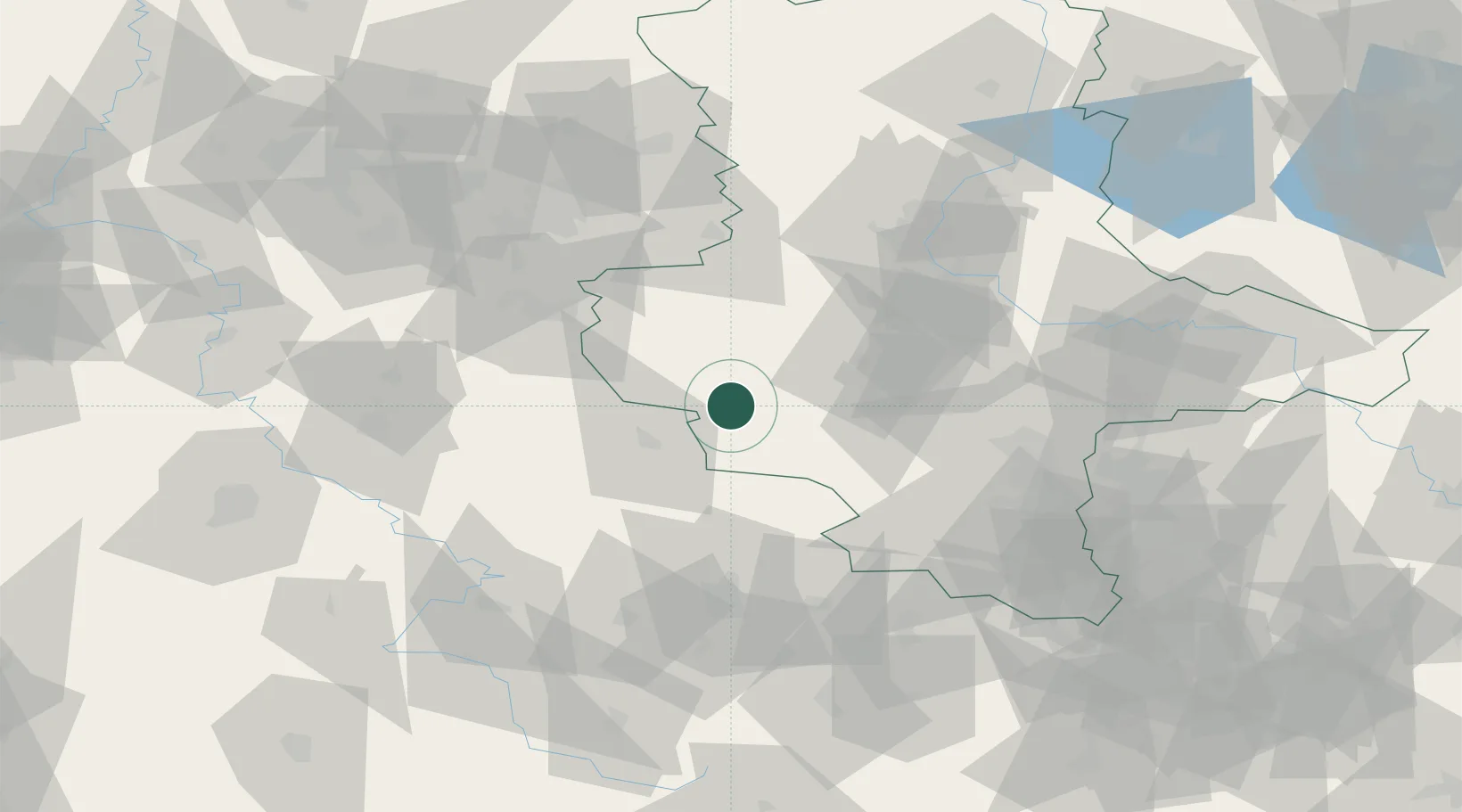
Location
Nearby Logistics Neighbours
Cities
- 1Rieder15 km
- 2Blankenburg20 km
- 3Wallhausen21 km
- 4Seeland24 km
- 5Sülzhayn24 km
Airports
- 1Erfurt-Weimar Airport71 km
- 2Eisenach-Kindel Airport80 km
- 3Leipzig/Halle Airport85 km
- 4Braunschweig-Wolfsburg Airport85 km
- 5Zerbst Airfield87 km
Trade Zones
DatabookThe Record of Consolidated Knowledge
Germany beyond logistics?