Transport Functions
Port
Multimodal
Hub Profile
Place type
Urban district
Region
Thuringia
Population
1,606
Time zone
Europe/Berlin
Elevation
219 m
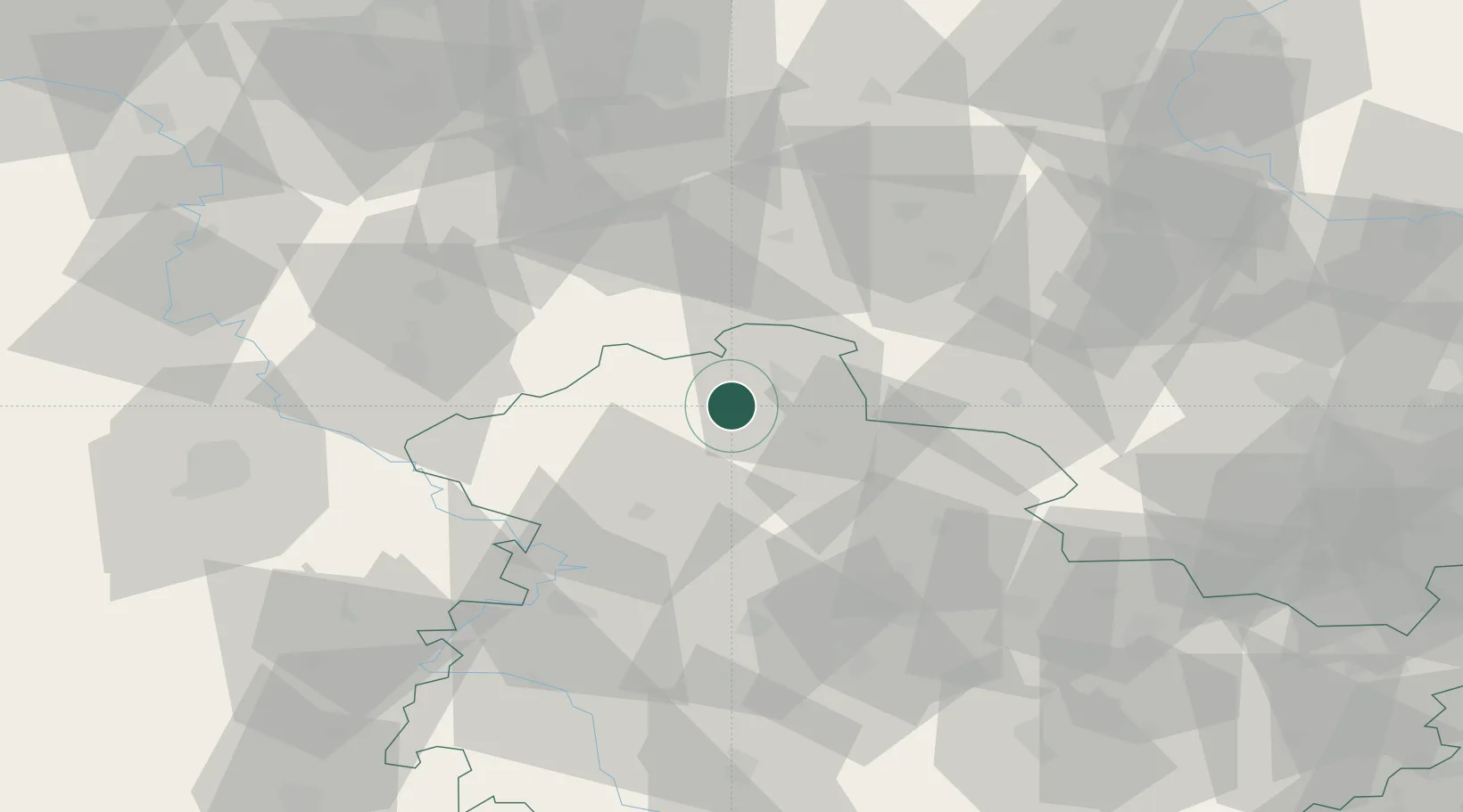
Location
Nearby Logistics Neighbours
Cities
- 1Ellrich15 km
- 2Walkenried15 km
- 3Sondershausen17 km
- 4Sülzhayn17 km
- 5Deuna18 km
Airports
- 1Eisenach-Kindel Airport53 km
- 2Erfurt-Weimar Airport56 km
- 3Kassel Airport89 km
- 4Braunschweig-Wolfsburg Airport97 km
- 5Fritzlar Army Airfield103 km
Trade Zones
DatabookThe Record of Consolidated Knowledge
Germany beyond logistics?