Transport Functions
Rail
Road
Hub Profile
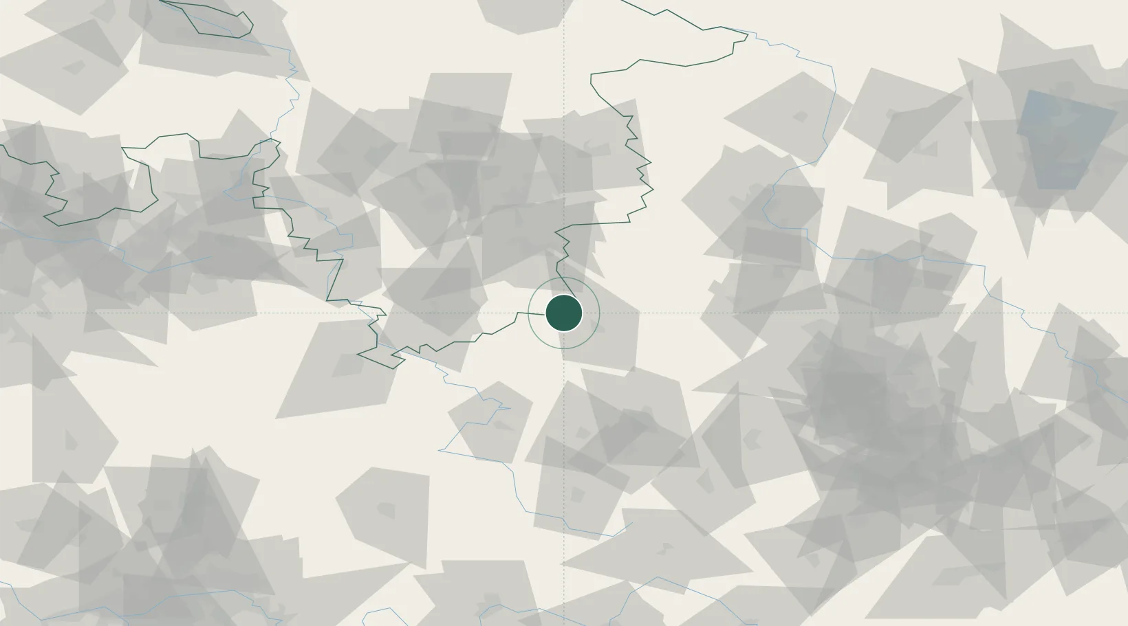
Place type
Local administrative seat
Region
Lower Saxony
Population
2,485
Time zone
Europe/Berlin
Elevation
271 m
Location
Nearby Logistics Neighbours
Cities
- 1Ellrich4 km
- 2Sülzhayn6 km
- 3Wipperdorf15 km
- 4Niederorschel27 km
- 5Deuna28 km
Airports
- 1Eisenach-Kindel Airport67 km
- 2Erfurt-Weimar Airport71 km
- 3Braunschweig-Wolfsburg Airport82 km
- 4Kassel Airport87 km
- 5Fritzlar Army Airfield106 km
Trade Zones
DatabookThe Record of Consolidated Knowledge
Germany beyond logistics?