Large airport · Germany

Erfurt-Weimar AirportEDDE
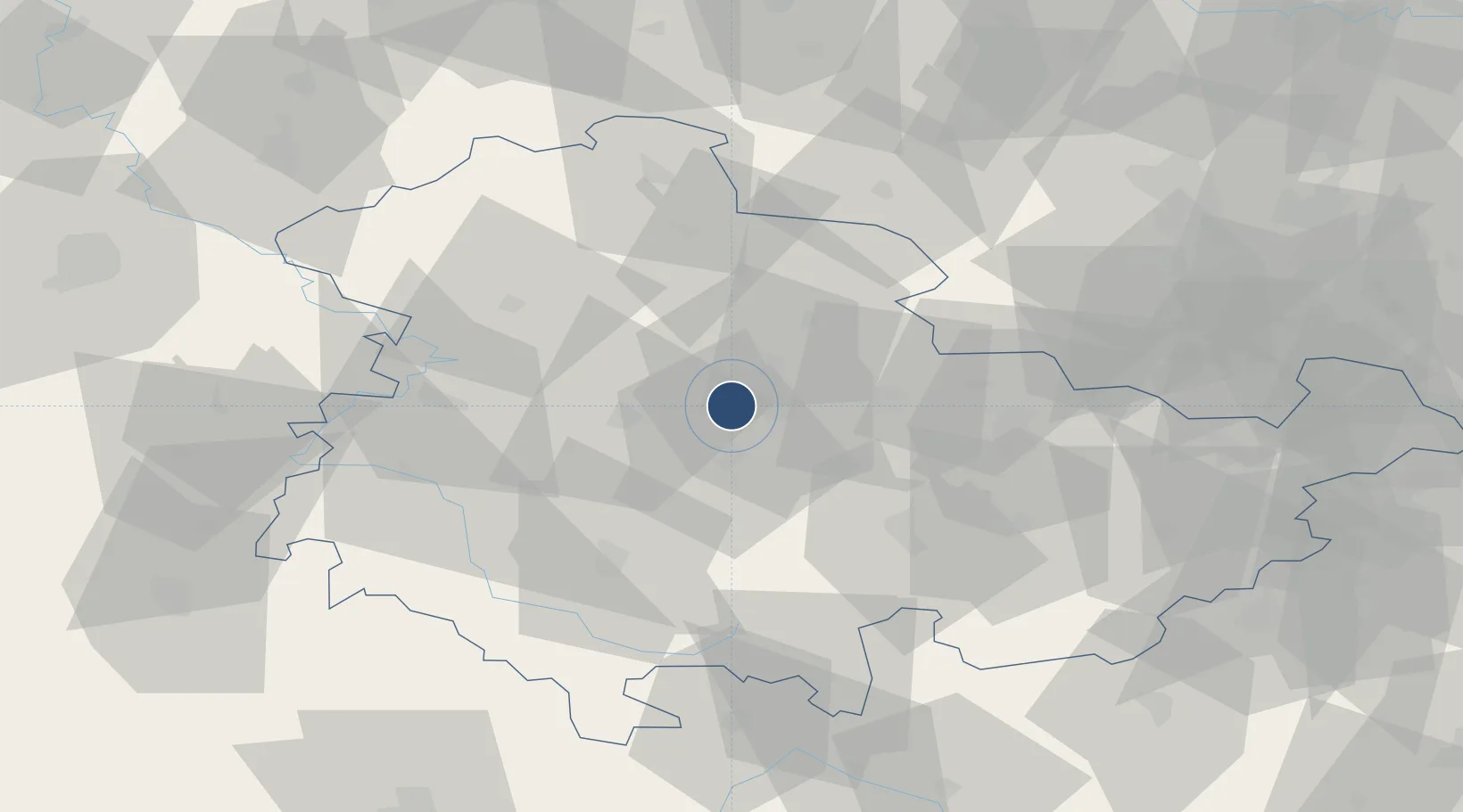
50.9783°, 10.9607°
8,530 ft
Longest runway
1
Runways
1,036 ft
Elevation

Runway & Layout

Erfurt-Weimar Airport runway & taxiway layout
Runway & taxiway layout — OpenStreetMap (ODbL) / OurAirports

Radio Frequencies

ATIS
133.455 MHz
Erfurt ATIS
TWR
121.155 MHz
Erfurt Tower / Turm
GND
121.755 MHz
Erfurt Ground / Rollkontrolle
APP
132.3 MHz
MUNCHEN RADAR
AFIS
119.825 MHz
Langen Information
RMP
121.9 MHz
APRON
OurAirports

Navaids

EFD DME Erfurt 112.05 MHz
ERF VOR-DME Erfurt 113.85 MHz
ERT NDB Erfurt 425 kHz
OurAirports

Runways · 1

RunwayDimensions SurfaceTrue headingLit
09/27 8,530 × 164ft Asphalt 098°
OurAirports

Airport Specifications

IATA code
ERF
OurAirports
ICAO code
EDDE
OurAirports
Airport class
Large airport
OurAirports
Scheduled service
Yes
OurAirports
Runway surface
Asphalt
OurAirports
Served city
Erfurt
OurAirports

Location

Location of EDDE
Natural Earth 10m (public domain) · Thüringen · EDDE · 50.98, 10.96GoogleOSMYandex

Nearby Logistics Neighbours

Airports
  1. 1Eisenach-Kindel Airport34 km
  2. 2Hof-Plauen Airport99 km
  3. 3Leipzig/Halle Airport101 km
  4. 4Leipzig–Altenburg Airport108 km
  5. 5Bamberg-Breitenau Airfield118 km
Nearest neighbours — logibook spatial index (haversine) over the source coordinates
Cities
  1. 1Nesse-Apfelstadt8 km
  2. 2Apfelstädt10 km
  3. 3Erfurt12 km
  4. 4Wandersleben12 km
  5. 5Dachwig13 km
Nearest neighbours — logibook spatial index (haversine) over the source coordinates
Ports
  1. 1Bremen283 km
  2. 2Hamburg294 km
  3. 3Oldenburg303 km
  4. 4Elsfleth303 km
  5. 5Brake312 km
Nearest neighbours — logibook spatial index (haversine) over the source coordinates
Trade Zones
  1. 1Podbořany Industrial Zone192 km
  2. 2Žatec - Triangle Strategic Industrial Zone192 km
  3. 3Most - Joseph Industrial Zone197 km
  4. 4Freeport of Deggendorf275 km
  5. 5Freeport of Bremerhaven (Freihafen Bremerhaven)279 km
Nearest neighbours — logibook spatial index (haversine) over the source coordinates
DatabookThe Record of Consolidated Knowledge
Germany beyond logistics?
Browse databook

All Sources

AirportsOurAirports
Public domain
Portsthe NGA World Port Index
Public domain (US gov)
LocationsUN/LOCODE
UN/LOCODE — free
Trade Zonesthe World Bank SEZ database
CC BY 4.0
Trade ZonesOpen Zone Map
CC BY
InfrastructureOpenStreetMap
ODbL 1.0
← Germany airports