Transport Functions
Multimodal
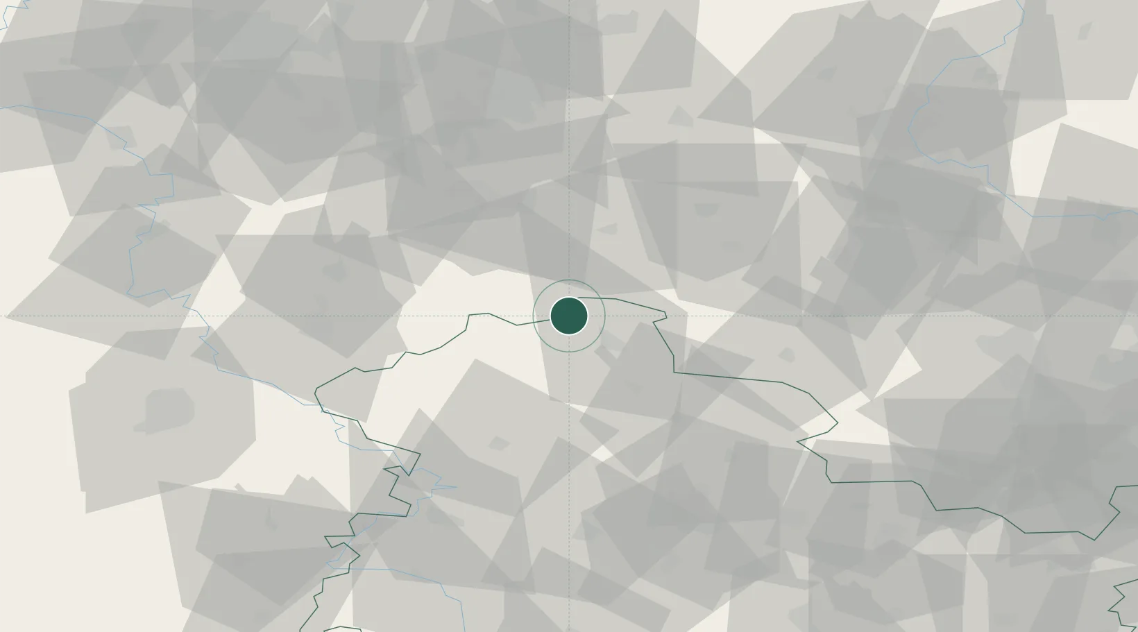
Hub Profile
Place type
Populated place
Region
Thuringia
Population
6,423
Time zone
Europe/Berlin
Elevation
255 m
Location
Nearby Logistics Neighbours
Cities
- 1Sülzhayn3 km
- 2Walkenried4 km
- 3Wipperdorf15 km
- 4Strassberg27 km
- 5Sondershausen28 km
Airports
- 1Eisenach-Kindel Airport67 km
- 2Erfurt-Weimar Airport70 km
- 3Braunschweig-Wolfsburg Airport82 km
- 4Kassel Airport90 km
- 5Fritzlar Army Airfield109 km
Trade Zones
DatabookThe Record of Consolidated Knowledge
Germany beyond logistics?