UN/LOCODE hub · Germany
DEHHO

Grosseichholzheim

49.4500°, 9.2833°
2
Transport functions

Transport Functions

Port
Multimodal
UN/LOCODE

Hub Profile

Region
BW
GeoNames

Location

Location of DEHHO
Natural Earth 10m (public domain) · BW · DEHHO · 49.45, 9.28GoogleOSMYandex

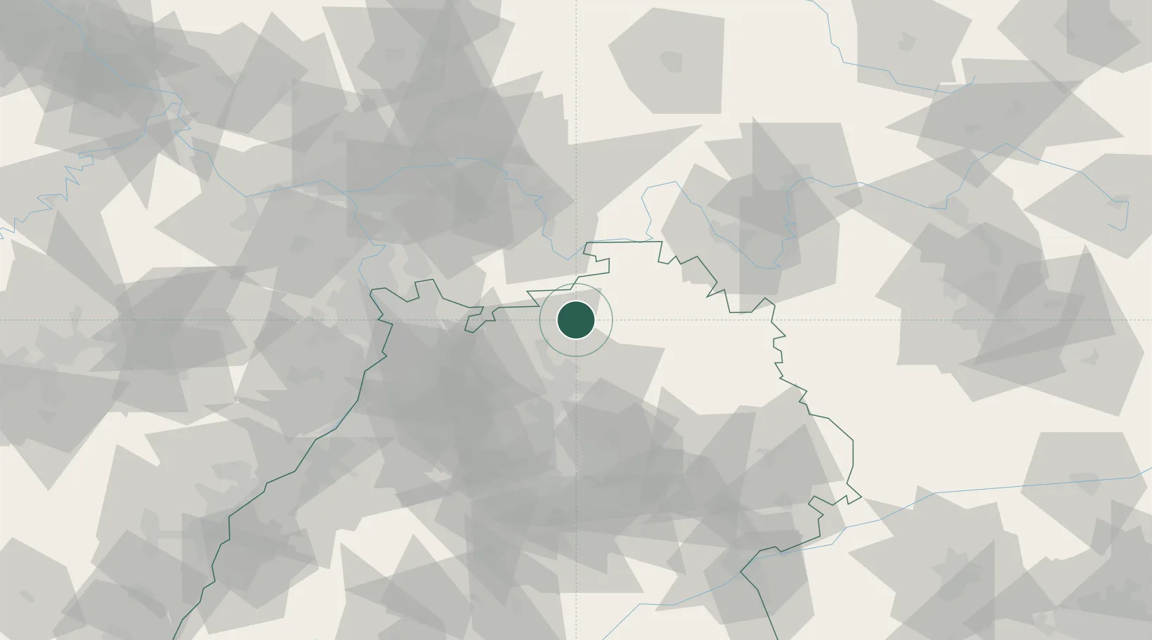
Nearby Logistics Neighbours

Cities
  1. 1Seckach4 km
  2. 2Schefflenz6 km
  3. 3Buchen8 km
  4. 4Sennfeld12 km
  5. 5Rosenberg (Baden)13 km
Nearest neighbours — logibook spatial index (haversine) over the source coordinates
Ports
  1. 1Bruxelles385 km
  2. 2Antwerpen398 km
  3. 3Bremen411 km
  4. 4Oldenburg414 km
  5. 5Dordrecht419 km
Nearest neighbours — logibook spatial index (haversine) over the source coordinates
Airports
  1. 1Niederstetten Army Air Base49 km
  2. 2Adolf Würth Airport52 km
  3. 3Mannheim-City Airport56 km
  4. 4Frankfurt-Egelsbach Airport73 km
  5. 5Frankfurt Main Airport83 km
Nearest neighbours — logibook spatial index (haversine) over the source coordinates
Trade Zones
  1. 1ZFU Hautepierre150 km
  2. 2ZFU Neuhof150 km
  3. 3ZFU La Cité Behren-lès-Forbach174 km
  4. 4Luxembourg Free Port222 km
  5. 5ZFU Woippy-Metz230 km
Nearest neighbours — logibook spatial index (haversine) over the source coordinates
DatabookThe Record of Consolidated Knowledge
Germany beyond logistics?
Browse databook

All Sources

LocationsUN/LOCODE
UN/LOCODE — free
Portsthe NGA World Port Index
Public domain (US gov)
AirportsOurAirports
Public domain
Trade Zonesthe World Bank SEZ database
CC BY 4.0
Trade ZonesOpen Zone Map
CC BY
← Germany locations