Transport Functions
Rail
Road
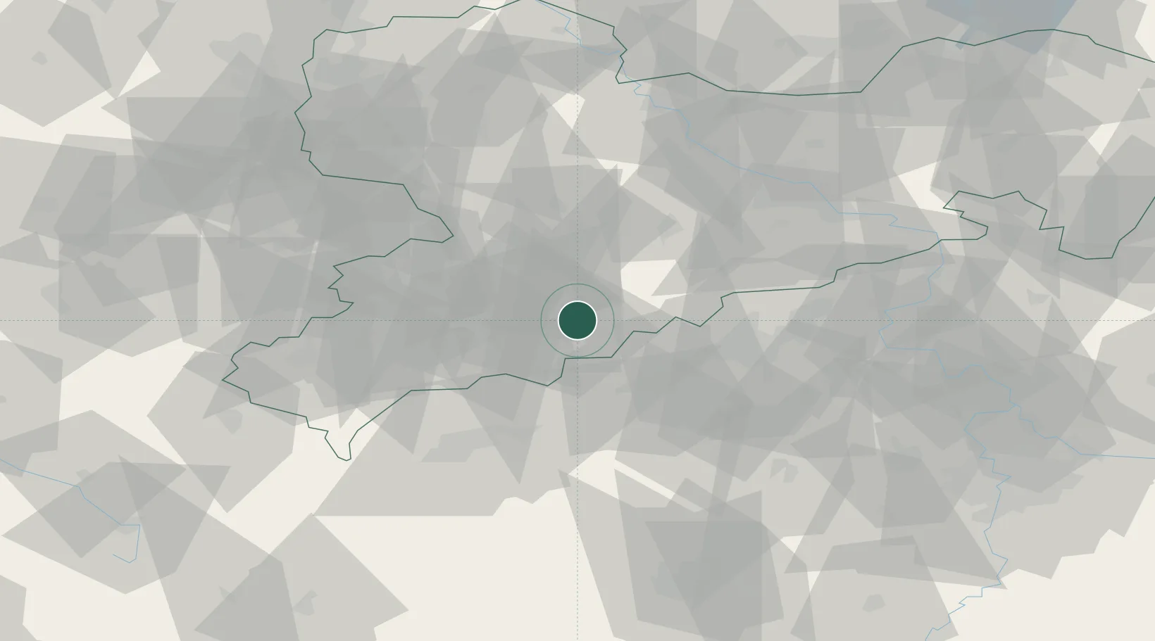
Hub Profile
Place type
Local administrative seat
Region
Saxony
Time zone
Europe/Berlin
Elevation
469 m
Location
Nearby Logistics Neighbours
Cities
- 1Mildenau3 km
- 2Wolkenstein4 km
- 3Wiesa4 km
- 4Königswalde7 km
- 5Ehrenfriedersdorf8 km
Ports
- 1Szczecin328 km
- 2Police344 km
- 3Swinoujscie376 km
- 4Wismar381 km
- 5Wolgast385 km
Airports
- 1Karlovy Vary Airport47 km
- 2Leipzig–Altenburg Airport56 km
- 3Dresden Airport77 km
- 4Hof-Plauen Airport92 km
- 5Václav Havel Airport Prague103 km
Trade Zones
DatabookThe Record of Consolidated Knowledge
Germany beyond logistics?