Transport Functions
Multimodal
Hub Profile
Place type
Populated place
Region
Saxony
Population
3,811
Time zone
Europe/Berlin
Elevation
458 m
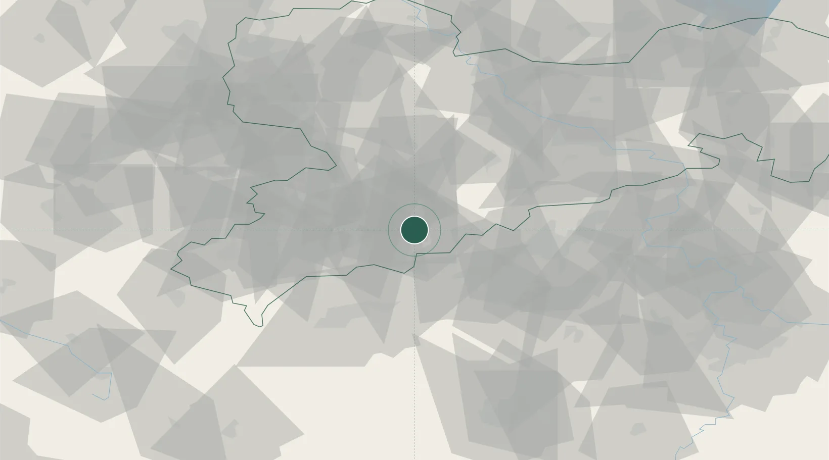
Location
Nearby Logistics Neighbours
Cities
- 1Thermalbad Wiesenbad4 km
- 2Schlettau5 km
- 3Mildenau6 km
- 4Ehrenfriedersdorf7 km
- 5Königswalde7 km
Ports
- 1Szczecin331 km
- 2Police347 km
- 3Swinoujscie379 km
- 4Wismar382 km
- 5Wolgast387 km
Airports
- 1Karlovy Vary Airport45 km
- 2Leipzig–Altenburg Airport55 km
- 3Dresden Airport80 km
- 4Hof-Plauen Airport88 km
- 5Plzeň-Líně Airport105 km
Trade Zones
DatabookThe Record of Consolidated Knowledge
Germany beyond logistics?