Transport Functions
Port
Rail
Road
Hub Profile
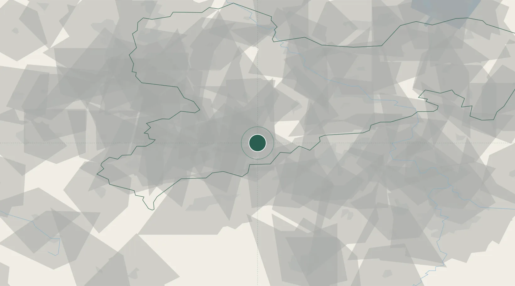
Place type
Populated place
Region
Saxony
Population
4,359
Time zone
Europe/Berlin
Elevation
504 m
Location
Nearby Logistics Neighbours
Cities
- 1Thermalbad Wiesenbad4 km
- 2Mildenau6 km
- 3Lauta6 km
- 4Wiesa7 km
- 5Griessbach8 km
Ports
- 1Szczecin324 km
- 2Police340 km
- 3Swinoujscie372 km
- 4Wismar377 km
- 5Wolgast381 km
Airports
- 1Karlovy Vary Airport51 km
- 2Leipzig–Altenburg Airport54 km
- 3Dresden Airport73 km
- 4Hof-Plauen Airport95 km
- 5Leipzig/Halle Airport104 km
Trade Zones
DatabookThe Record of Consolidated Knowledge
Germany beyond logistics?