Transport Functions
Rail
Road
Hub Profile
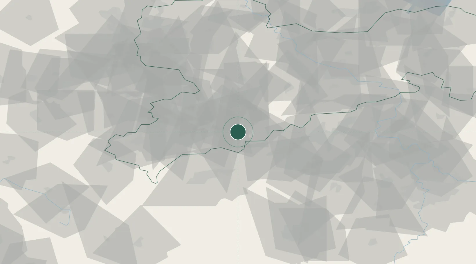
Place type
Populated place
Region
Saxony
Population
2,733
Time zone
Europe/Berlin
Elevation
564 m
Location
Nearby Logistics Neighbours
Cities
- 1Wiesa5 km
- 2Elterlein6 km
- 3Königswalde7 km
- 4Thermalbad Wiesenbad9 km
- 5Ehrenfriedersdorf9 km
Ports
- 1Szczecin335 km
- 2Police351 km
- 3Swinoujscie383 km
- 4Wismar384 km
- 5Hamburg391 km
Airports
- 1Karlovy Vary Airport41 km
- 2Leipzig–Altenburg Airport56 km
- 3Hof-Plauen Airport84 km
- 4Dresden Airport85 km
- 5Plzeň-Líně Airport102 km
Trade Zones
DatabookThe Record of Consolidated Knowledge
Germany beyond logistics?