UN/LOCODE hub · Germany
DELED

Langen (Emsland)

52.5500°, 7.4667°
1
Transport functions

Transport Functions

Multimodal
UN/LOCODE

Hub Profile

Region
NI
GeoNames

Location

Location of DELED
Natural Earth 10m (public domain) · NI · DELED · 52.55, 7.47GoogleOSMYandex

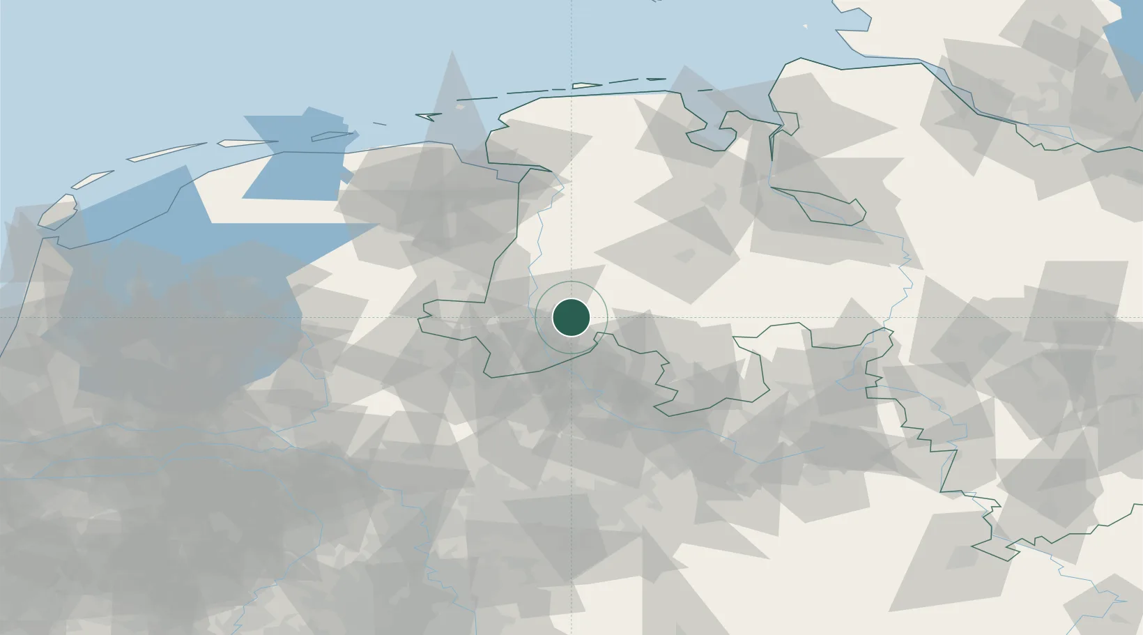
Nearby Logistics Neighbours

Cities
  1. 1Lengerich3 km
  2. 2Messingen9 km
  3. 3Altenlingen11 km
  4. 4Biene13 km
  5. 5Geeste15 km
Nearest neighbours — logibook spatial index (haversine) over the source coordinates
Ports
  1. 1Papenburg61 km
  2. 2Leer76 km
  3. 3Oldenburg81 km
  4. 4Emden89 km
  5. 5Delfzijl94 km
Nearest neighbours — logibook spatial index (haversine) over the source coordinates
Airports
  1. 1Münster Osnabrück Airport49 km
  2. 2Twente Airport50 km
  3. 3Diepholz Air Base59 km
  4. 4Groningen Airport Eelde87 km
  5. 5Emden Airport95 km
Nearest neighbours — logibook spatial index (haversine) over the source coordinates
Trade Zones
  1. 1Freeport of Emden89 km
  2. 2Freeport of Bremerhaven (Freihafen Bremerhaven)107 km
  3. 3Freeport of Duisburg137 km
  4. 4Freeport of Cuxhaven (Freihafen Cuxhaven)160 km
  5. 5Rheinische Revier SWZ197 km
Nearest neighbours — logibook spatial index (haversine) over the source coordinates
DatabookThe Record of Consolidated Knowledge
Germany beyond logistics?
Browse databook

All Sources

LocationsUN/LOCODE
UN/LOCODE — free
Portsthe NGA World Port Index
Public domain (US gov)
AirportsOurAirports
Public domain
Trade Zonesthe World Bank SEZ database
CC BY 4.0
Trade ZonesOpen Zone Map
CC BY
← Germany locations