Transport Functions
Multimodal
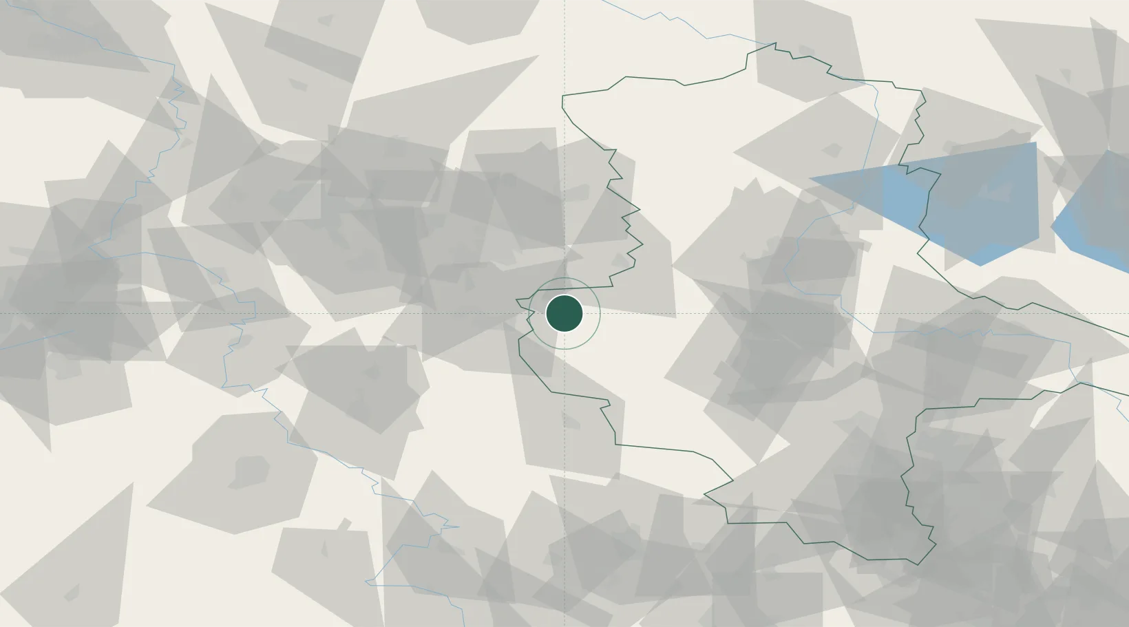
Hub Profile
Place type
Populated place
Region
Saxony-Anhalt
Population
746
Time zone
Europe/Berlin
Elevation
133 m
Location
Nearby Logistics Neighbours
Cities
- 1Osterwieck4 km
- 2Vienenburg14 km
- 3Derenburg14 km
- 4Bad Harzburg16 km
- 5Schöppenstedt20 km
Airports
- 1Braunschweig-Wolfsburg Airport44 km
- 2Celle Army Airfield88 km
- 3Hannover Airport93 km
- 4Zerbst Airfield95 km
- 5Wunstorf Air Base107 km
Trade Zones
DatabookThe Record of Consolidated Knowledge
Germany beyond logistics?