Transport Functions
Multimodal
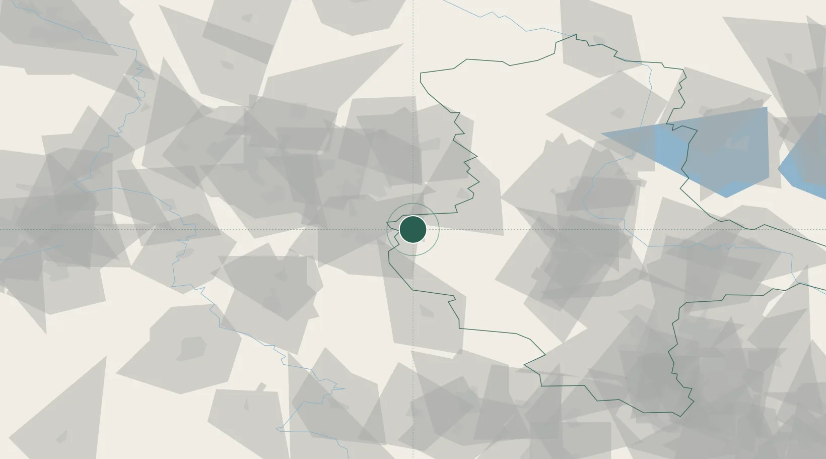
Hub Profile
Place type
Populated place
Region
Saxony-Anhalt
Population
3,837
Time zone
Europe/Berlin
Elevation
119 m
Location
Nearby Logistics Neighbours
Cities
- 1Berssel4 km
- 2Vienenburg10 km
- 3Bad Harzburg14 km
- 4Derenburg18 km
- 5Schöppenstedt19 km
Airports
- 1Braunschweig-Wolfsburg Airport41 km
- 2Celle Army Airfield84 km
- 3Hannover Airport89 km
- 4Zerbst Airfield98 km
- 5Wunstorf Air Base103 km
Trade Zones
DatabookThe Record of Consolidated Knowledge
Germany beyond logistics?