Transport Functions
Rail
Road
Hub Profile
Place type
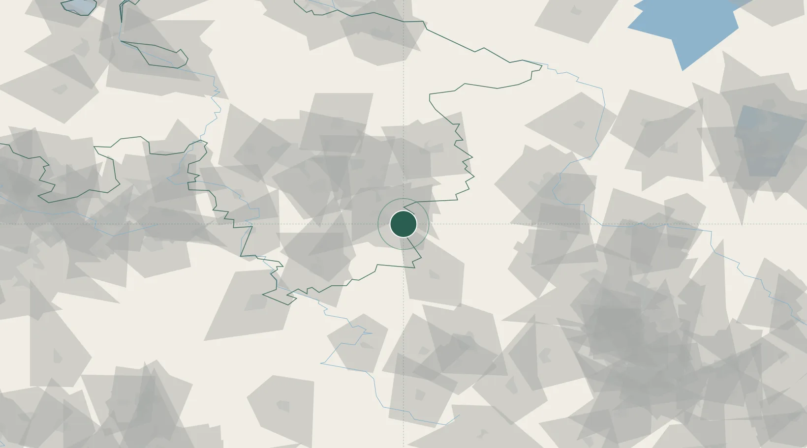
Populated place
Region
Lower Saxony
Population
22,954
Time zone
Europe/Berlin
Elevation
262 m
Location
Nearby Logistics Neighbours
Cities
- 1Vienenburg7 km
- 2Goslar9 km
- 3Osterwieck14 km
- 4Berssel16 km
- 5Derenburg24 km
Airports
- 1Braunschweig-Wolfsburg Airport49 km
- 2Celle Army Airfield87 km
- 3Hannover Airport88 km
- 4Kassel Airport96 km
- 5Eisenach-Kindel Airport99 km
Trade Zones
DatabookThe Record of Consolidated Knowledge
Germany beyond logistics?