Medium airport · Germany

Wunstorf Air BaseETNW
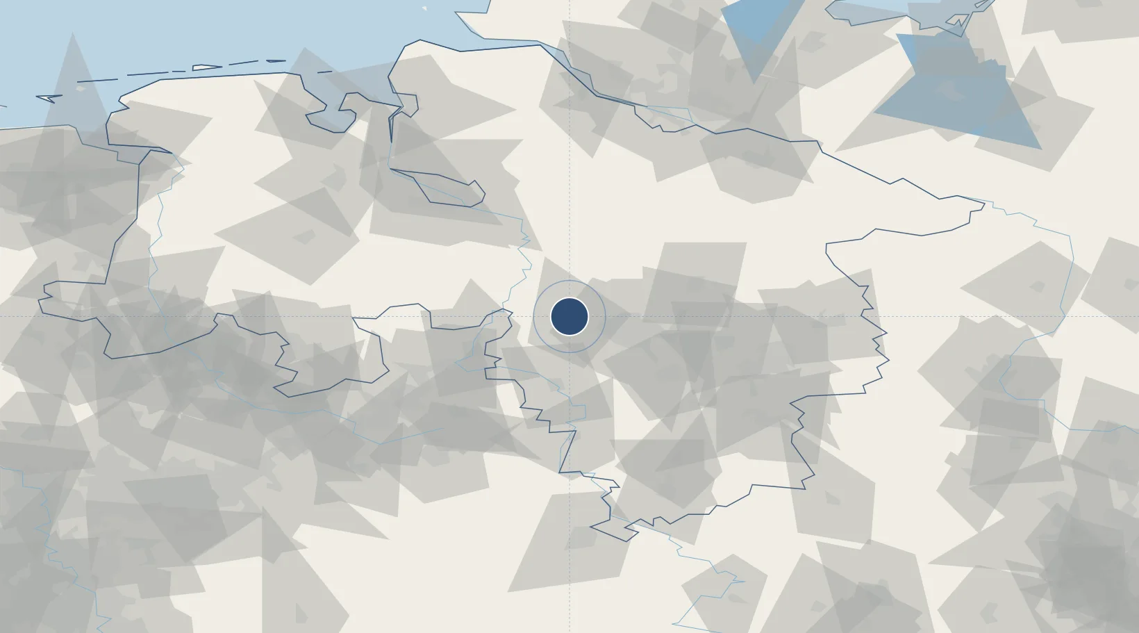
52.4573°, 9.4272°
8,199 ft
Longest runway
3
Runways
187 ft
Elevation

Runway & Layout

Wunstorf Air Base runway & taxiway layout
Runway & taxiway layout — OpenStreetMap (ODbL) / OurAirports

Radio Frequencies

TWR
122.1 MHz
DIR
131.325 MHz
HANNOVER DIR
RDR
38.94 MHz
RADAR
RDR
123.3 MHz
RADAR
OurAirports

Navaids

WUN TACAN Wunstorf 114.85 MHz
WUN NDB Wunstorf 419 kHz
OurAirports

Runways · 3

RunwayDimensions SurfaceTrue headingLit
08/26 8,199 × 148ft Asphalt 081°
02/20 5,573 × 157ft Asphalt 026°
08R/26L 3,569 × 132ft Grass 081°
OurAirports

Airport Specifications

ICAO code
ETNW
OurAirports
Airport class
Medium airport
OurAirports
Scheduled service
No
OurAirports
Runway surface
Asphalt
OurAirports

Location

Location of ETNW
Natural Earth 10m (public domain) · Niedersachsen · ETNW · 52.46, 9.43GoogleOSMYandex

Nearby Logistics Neighbours

Airports
  1. 1Hannover Airport18 km
  2. 2Bückeburg Air Base31 km
  3. 3Celle Army Airfield43 km
  4. 4Faßberg Air Base73 km
  5. 5Diepholz Air Base75 km
Nearest neighbours — logibook spatial index (haversine) over the source coordinates
Cities
  1. 1Wunstorf3 km
  2. 2Hagenburg7 km
  3. 3Kolenfeld8 km
  4. 4Riepen14 km
  5. 5Pollhagen18 km
Nearest neighbours — logibook spatial index (haversine) over the source coordinates
Ports
  1. 1Bremen87 km
  2. 2Elsfleth108 km
  3. 3Oldenburg110 km
  4. 4Brake116 km
  5. 5Hamburg126 km
Nearest neighbours — logibook spatial index (haversine) over the source coordinates
Trade Zones
  1. 1Freeport of Bremerhaven (Freihafen Bremerhaven)83 km
  2. 2Freeport of Cuxhaven (Freihafen Cuxhaven)163 km
  3. 3Freeport of Emden179 km
  4. 4Freeport of Kiel215 km
  5. 5Freeport of Duisburg225 km
Nearest neighbours — logibook spatial index (haversine) over the source coordinates
DatabookThe Record of Consolidated Knowledge
Germany beyond logistics?
Browse databook

All Sources

AirportsOurAirports
Public domain
Portsthe NGA World Port Index
Public domain (US gov)
LocationsUN/LOCODE
UN/LOCODE — free
Trade Zonesthe World Bank SEZ database
CC BY 4.0
Trade ZonesOpen Zone Map
CC BY
InfrastructureOpenStreetMap
ODbL 1.0
← Germany airports