Transport Functions
Port
Multimodal
Hub Profile
Place type
Populated place
Region
Lower Saxony
Population
11,417
Time zone
Europe/Berlin
Elevation
140 m
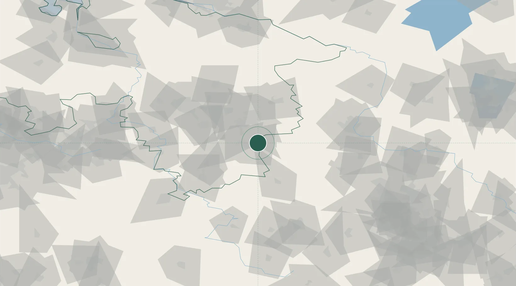
Location
Nearby Logistics Neighbours
Cities
- 1Bad Harzburg7 km
- 2Osterwieck10 km
- 3Goslar11 km
- 4Berssel14 km
- 5Haverlah21 km
Airports
- 1Braunschweig-Wolfsburg Airport41 km
- 2Celle Army Airfield80 km
- 3Hannover Airport83 km
- 4Wunstorf Air Base96 km
- 5Kassel Airport100 km
Trade Zones
DatabookThe Record of Consolidated Knowledge
Germany beyond logistics?