Transport Functions
Port
Road
Hub Profile
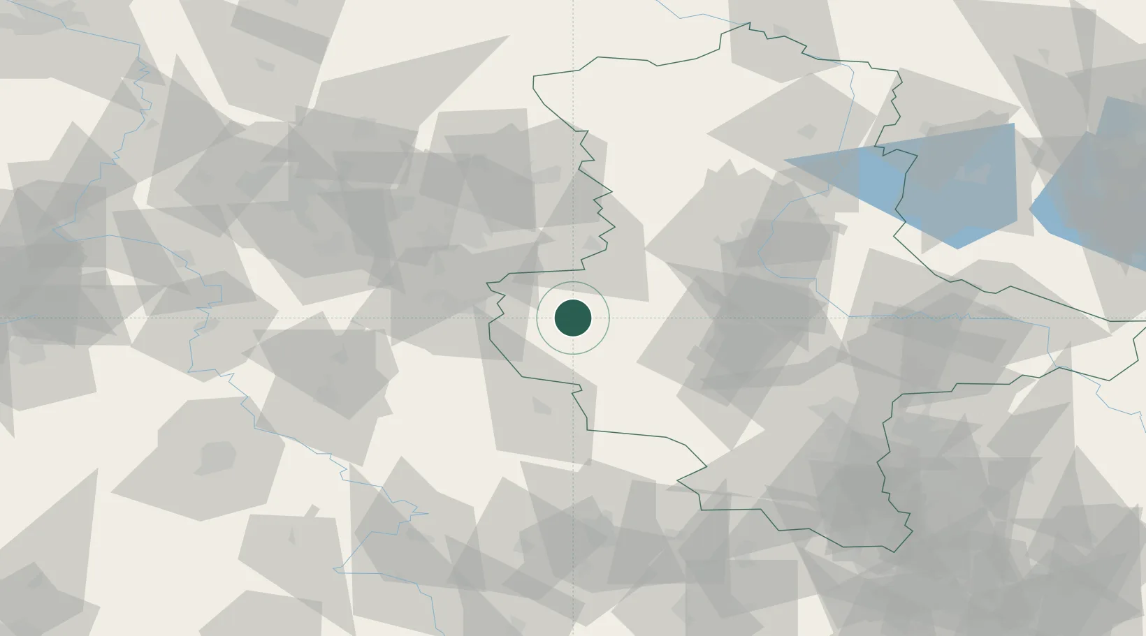
Place type
Populated place
Region
Saxony-Anhalt
Population
2,716
Time zone
Europe/Berlin
Elevation
157 m
Location
Nearby Logistics Neighbours
Cities
- 1Blankenburg10 km
- 2Berssel14 km
- 3Wegeleben17 km
- 4Osterwieck18 km
- 5Rieder23 km
Airports
- 1Braunschweig-Wolfsburg Airport56 km
- 2Zerbst Airfield86 km
- 3Erfurt-Weimar Airport99 km
- 4Celle Army Airfield101 km
- 5Eisenach-Kindel Airport102 km
Trade Zones
DatabookThe Record of Consolidated Knowledge
Germany beyond logistics?