Large airport · Germany
Hannover AirportEDDV
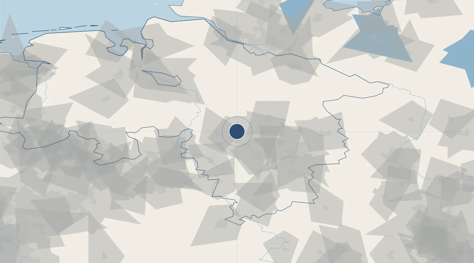
52.4611°, 9.6851°
10,499 ft
Longest runway
3
Runways
183 ft
Elevation
Runway & Layout

Radio Frequencies
ATIS
136.575 MHz
Hannover ATIS
TWR
120.18 MHz
Hannover Tower / Turm
TWR
120.405 MHz
Hannover Tower / Turm
GND
121.955 MHz
Hannover Ground / Rollkontrolle
APP
119.6 MHz
DIRECTOR
AFIS
119.825 MHz
LANGEN INFORMATION
RDR
131.325 MHz
BREMEN RADAR
Navaids
HA NDB Hannover 320 kHz
HAD DME Hannover 113.95 MHz
HAE NDB Hannover 332 kHz
HBD DME Hannover 116.90 MHz
HW NDB Hannover 358 kHz
Runways · 3
| Runway | Dimensions | Surface | True heading | Lit |
|---|---|---|---|---|
| 09L/27R | 10,499 × 148ft | Concrete | 093° | ✓ |
| 09R/27L | 7,677 × 148ft | Concrete | 093° | ✓ |
| 09C/27C | 1,804 × 75ft | Asphalt | 092° | — |
Airport Specifications
IATA code
HAJ
ICAO code
EDDV
Airport class
Large airport
Scheduled service
Yes
Runway surface
Concrete
Served city
Hannover
Location
Nearby Logistics Neighbours
Airports
- 1Wunstorf Air Base18 km
- 2Celle Army Airfield27 km
- 3Bückeburg Air Base46 km
- 4Faßberg Air Base61 km
- 5Braunschweig-Wolfsburg Airport61 km
Cities
- 1Brink5 km
- 2Langenhagen5 km
- 3Hainhaus6 km
- 4Hannover11 km
- 5Misburg15 km
Trade Zones
DatabookThe Record of Consolidated Knowledge
Germany beyond logistics?