Transport Functions
Rail
Road
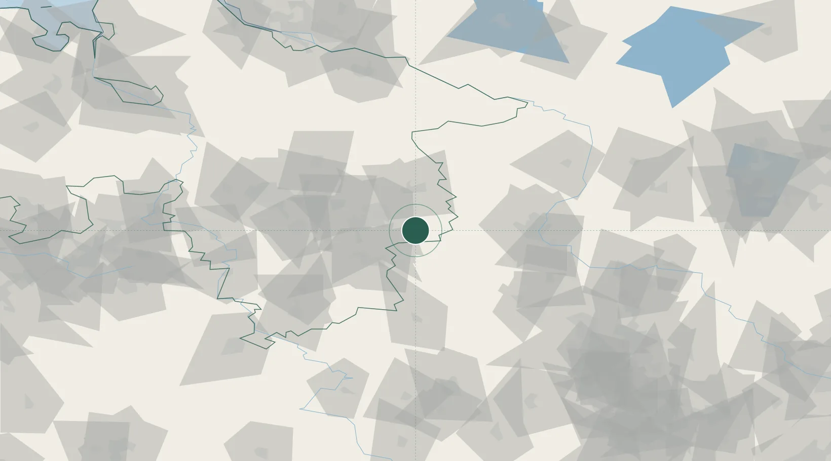
Hub Profile
Region
NI
Location
Nearby Logistics Neighbours
Cities
- 1Frellstedt13 km
- 2Cremlingen16 km
- 3Hötensleben16 km
- 4Wolfenbüttel16 km
- 5Helmstedt19 km
Airports
- 1Braunschweig-Wolfsburg Airport26 km
- 2Celle Army Airfield73 km
- 3Hannover Airport83 km
- 4Zerbst Airfield95 km
- 5Faßberg Air Base96 km
Trade Zones
DatabookThe Record of Consolidated Knowledge
Germany beyond logistics?