UN/LOCODE hub · Germany
DEBUR
Burg bei Magdeburg
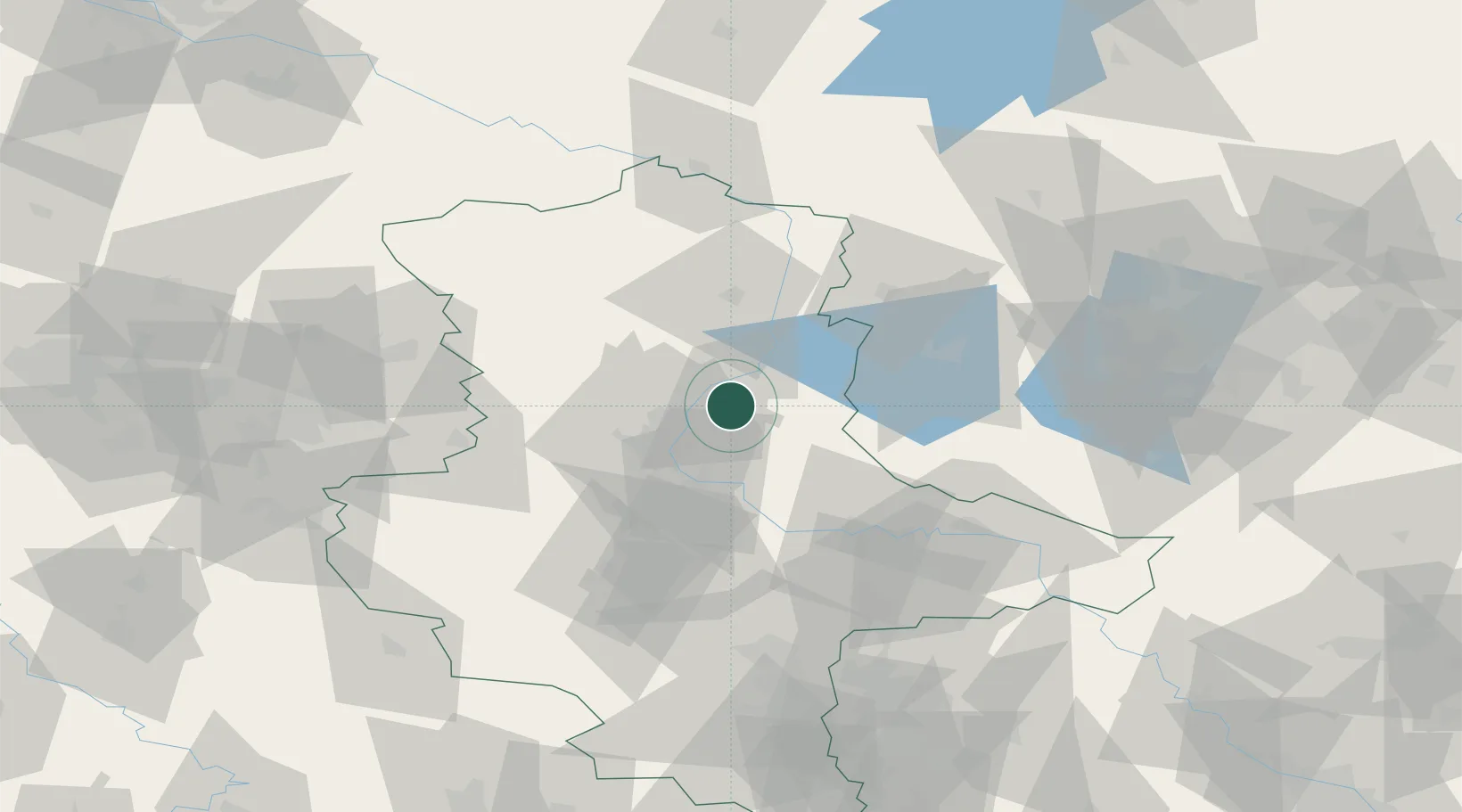
52.2667°, 11.8500°
24,958
Population
2
Transport functions
Transport Functions
Rail
Road
Hub Profile
Place type
District seat
Region
Saxony-Anhalt
Population
24,958
Time zone
Europe/Berlin
Elevation
44 m
Location
Nearby Logistics Neighbours
Cities
- 1Heinrichsberg8 km
- 2Rogätz8 km
- 3Bertingen9 km
- 4Hohenwarthe10 km
- 5Loitsche11 km
Ports
- 1Wismar183 km
- 2Hamburg192 km
- 3Lubeck196 km
- 4Lubeck-Travemunde200 km
- 5Rostock205 km
Airports
- 1Zerbst Airfield36 km
- 2Braunschweig-Wolfsburg Airport88 km
- 3Leipzig/Halle Airport98 km
- 4Holzdorf Air Base106 km
- 5Berlin Brandenburg Airport113 km
Trade Zones
DatabookThe Record of Consolidated Knowledge
Germany beyond logistics?