Transport Functions
Port
Road
Hub Profile
Place type
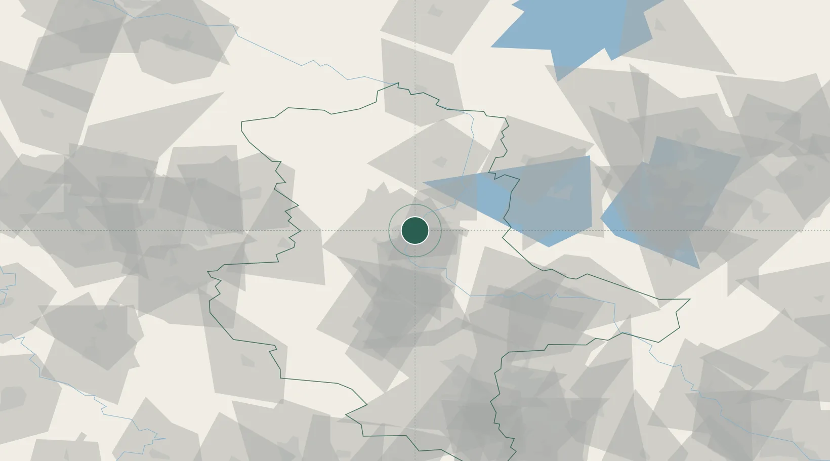
Populated place
Region
Saxony-Anhalt
Population
1,475
Time zone
Europe/Berlin
Elevation
53 m
Location
Nearby Logistics Neighbours
Cities
- 1Heinrichsberg4 km
- 2Rothensee7 km
- 3Körbelitz7 km
- 4Loitsche8 km
- 5Burg bei Magdeburg10 km
Ports
- 1Wismar186 km
- 2Hamburg189 km
- 3Lubeck196 km
- 4Lubeck-Travemunde201 km
- 5Rostock209 km
Airports
- 1Zerbst Airfield39 km
- 2Braunschweig-Wolfsburg Airport80 km
- 3Leipzig/Halle Airport97 km
- 4Holzdorf Air Base112 km
- 5Celle Army Airfield122 km
Trade Zones
DatabookThe Record of Consolidated Knowledge
Germany beyond logistics?