Transport Functions
Rail
Road
Hub Profile
Region
ST
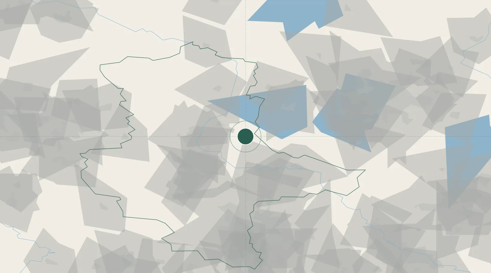
Location
Nearby Logistics Neighbours
Cities
- 1Schopsdorf10 km
- 2Möckern12 km
- 3Ziesar16 km
- 4Bücknitz18 km
- 5Grimme19 km
Ports
- 1Wismar198 km
- 2Lubeck213 km
- 3Szczecin215 km
- 4Rostock215 km
- 5Lubeck-Travemunde216 km
Airports
- 1Zerbst Airfield19 km
- 2Leipzig/Halle Airport83 km
- 3Holzdorf Air Base85 km
- 4Berlin Brandenburg Airport97 km
- 5Braunschweig-Wolfsburg Airport108 km
Trade Zones
- 1Kostrzyń-Słubice SEZ178 km
- 2Most - Joseph Industrial Zone215 km
- 3Szczecin Duty Free Zone216 km
- 4Žatec - Triangle Strategic Industrial Zone220 km
- 5Podbořany Industrial Zone234 km
DatabookThe Record of Consolidated Knowledge
Germany beyond logistics?