Transport Functions
Rail
Road
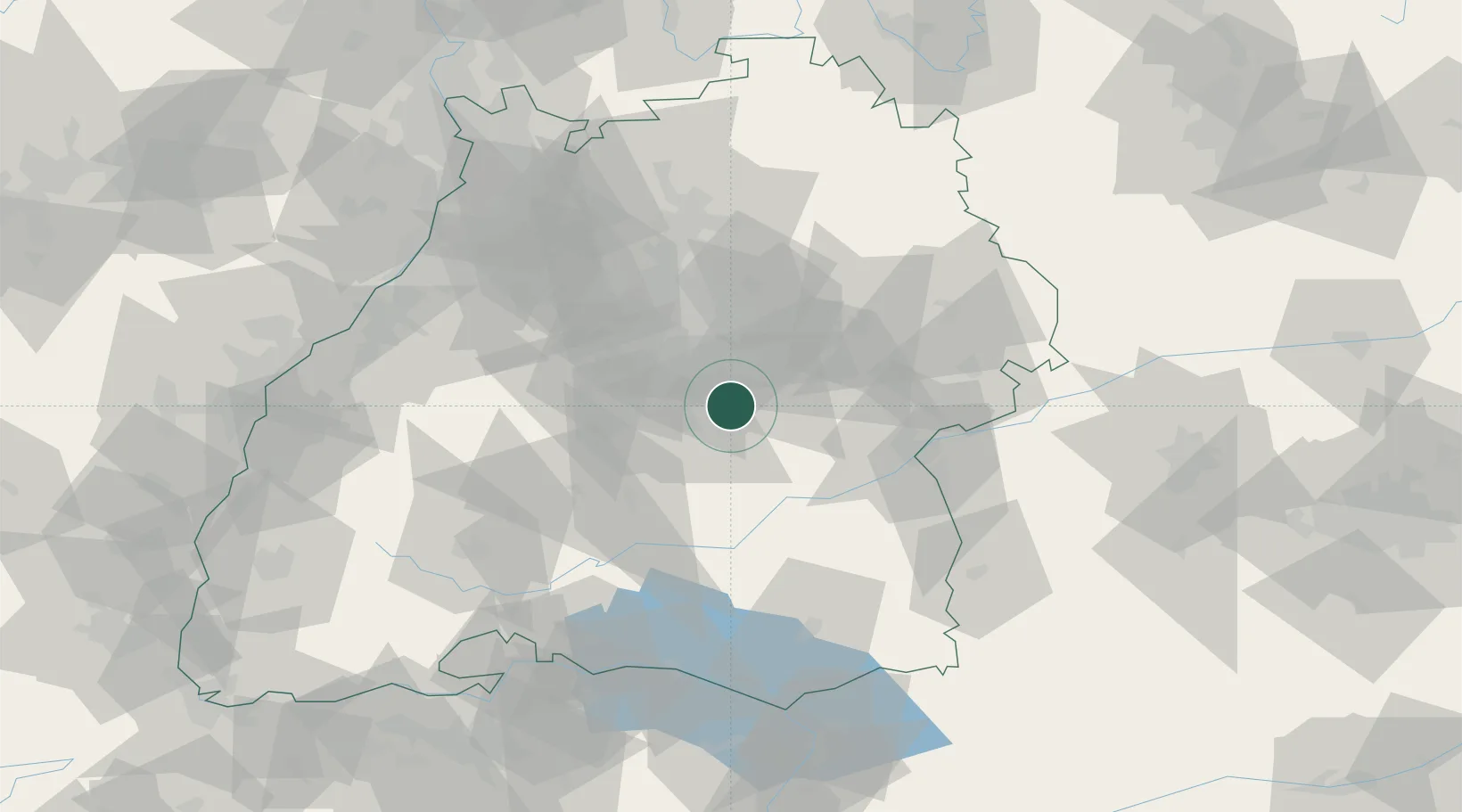
Hub Profile
Place type
Populated place
Region
Baden-Wurttemberg
Population
6,365
Time zone
Europe/Berlin
Elevation
404 m
Location
Nearby Logistics Neighbours
Cities
- 1Kohlberg3 km
- 2Frickenhausen4 km
- 3Grafenberg5 km
- 4Grossbettlingen7 km
- 5Oberboihingen11 km
Ports
- 1Porto Di Lido-Venezia419 km
- 2Nogaro423 km
- 3Porto Di Chioggia431 km
- 4Grado435 km
- 5Monfalcone441 km
Airports
- 1Stuttgart Airport19 km
- 2Laupheim Air Base54 km
- 3Mengen-Hohentengen Airfield55 km
- 4Adolf Würth Airport70 km
- 5Donaueschingen-Villingen Airfield90 km
Trade Zones
- 1ZFU Neuhof118 km
- 2ZFU Hautepierre123 km
- 3ZFU Mulhouse175 km
- 4ZFU La Cité Behren-lès-Forbach191 km
- 5ZFU Belfort215 km
DatabookThe Record of Consolidated Knowledge
Germany beyond logistics?