Transport Functions
Rail
Road
Multimodal
Hub Profile
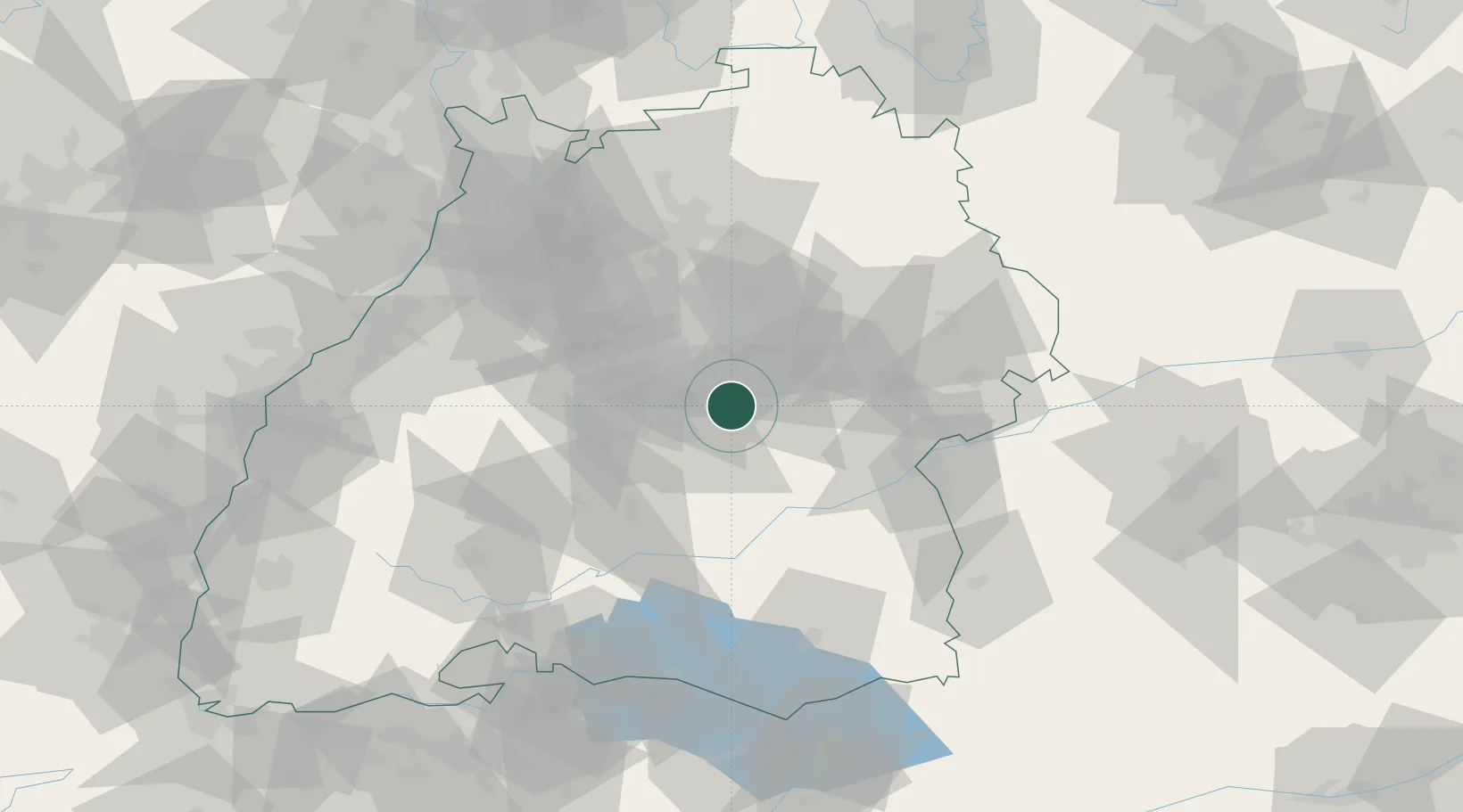
Place type
Local administrative seat
Region
Baden-Wurttemberg
Population
8,841
Time zone
Europe/Berlin
Elevation
322 m
Location
Nearby Logistics Neighbours
Cities
- 1Neuffen4 km
- 2Kohlberg4 km
- 3Grossbettlingen5 km
- 4Grafenberg6 km
- 5Oberboihingen7 km
Ports
- 1Porto Di Lido-Venezia422 km
- 2Nogaro426 km
- 3Porto Di Chioggia434 km
- 4Grado437 km
- 5Bruxelles441 km
Airports
- 1Stuttgart Airport16 km
- 2Laupheim Air Base57 km
- 3Mengen-Hohentengen Airfield59 km
- 4Adolf Würth Airport67 km
- 5Donaueschingen-Villingen Airfield92 km
Trade Zones
- 1ZFU Neuhof118 km
- 2ZFU Hautepierre123 km
- 3ZFU Mulhouse177 km
- 4ZFU La Cité Behren-lès-Forbach190 km
- 5ZFU Belfort217 km
DatabookThe Record of Consolidated Knowledge
Germany beyond logistics?